Planning resources
The part of the walk that happens at home.
Maps and apps, weather, gear, and how mountain accommodation really works. Practical guidance that applies to any long-distance route.
A long walk is mostly decided before you leave: the route you pick, the daily distances you set, and whether you booked the right beds in the right order. These pages cover the tools and habits that make that easier.

Plan the route first
Start from your available days and honest fitness, not from a photograph. Fix the season, then the stages, then the beds — in that order. Changing the season later changes everything downstream.
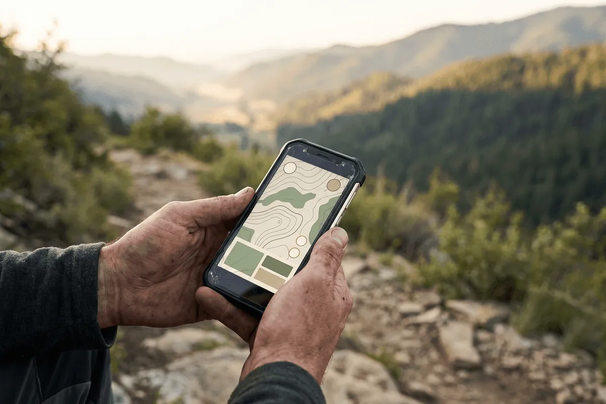
Maps, GPX and navigation
Carry two forms of navigation and never rely on mobile data. Download offline maps and the route GPX before you travel, and keep a paper map or printed stage list for the day it matters.
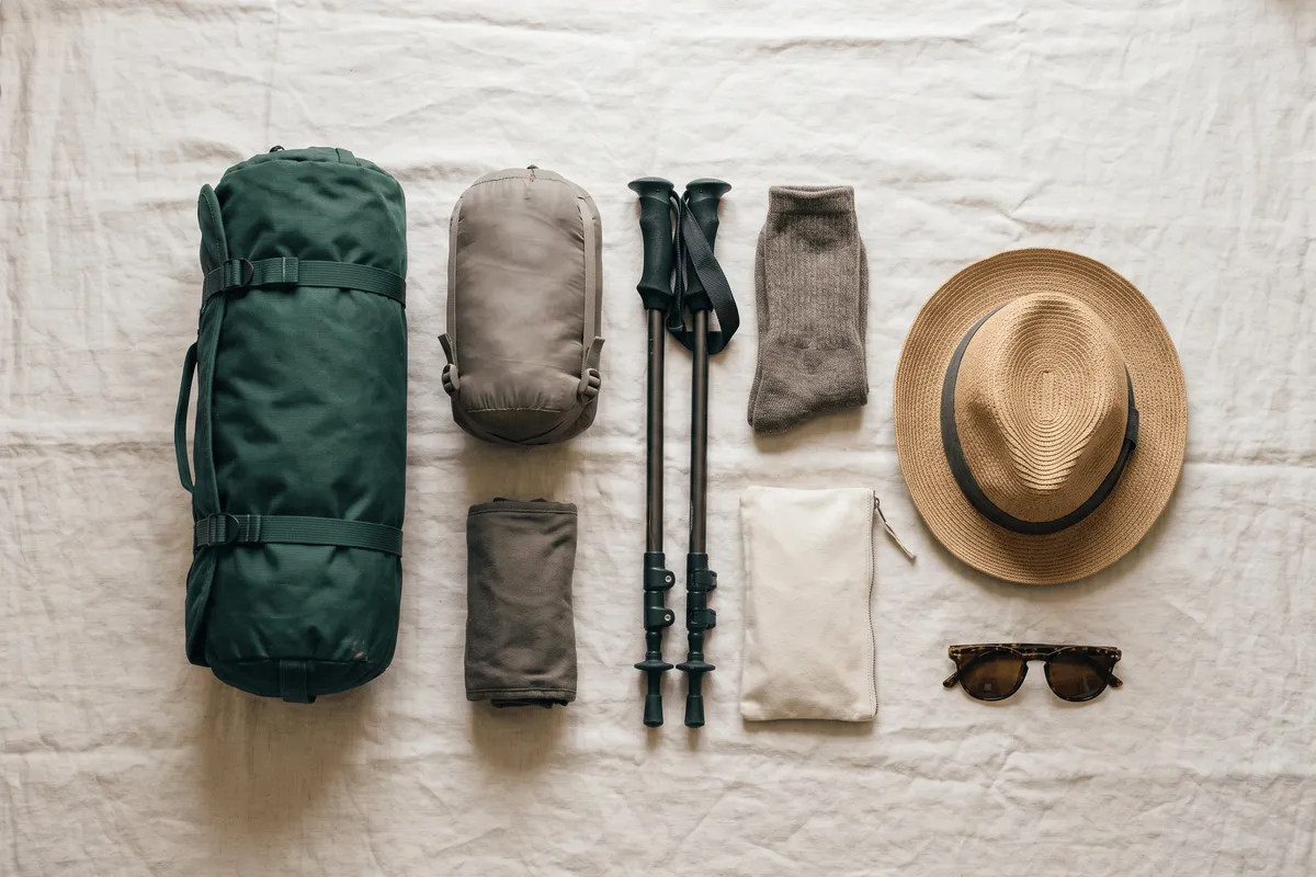
What you carry
Weight decides how the last three days feel. Aim for the lightest kit that keeps you warm, dry and fed between resupply points — and remember a transferred bag does not reduce what you need on your back during the day.
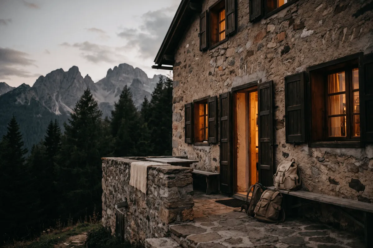
Huts, albergues and refuges
Mountain accommodation is not a hotel: half board, shared rooms, cash-only in places, and booking windows that open months ahead. On popular routes the beds, not the walking, set your itinerary.
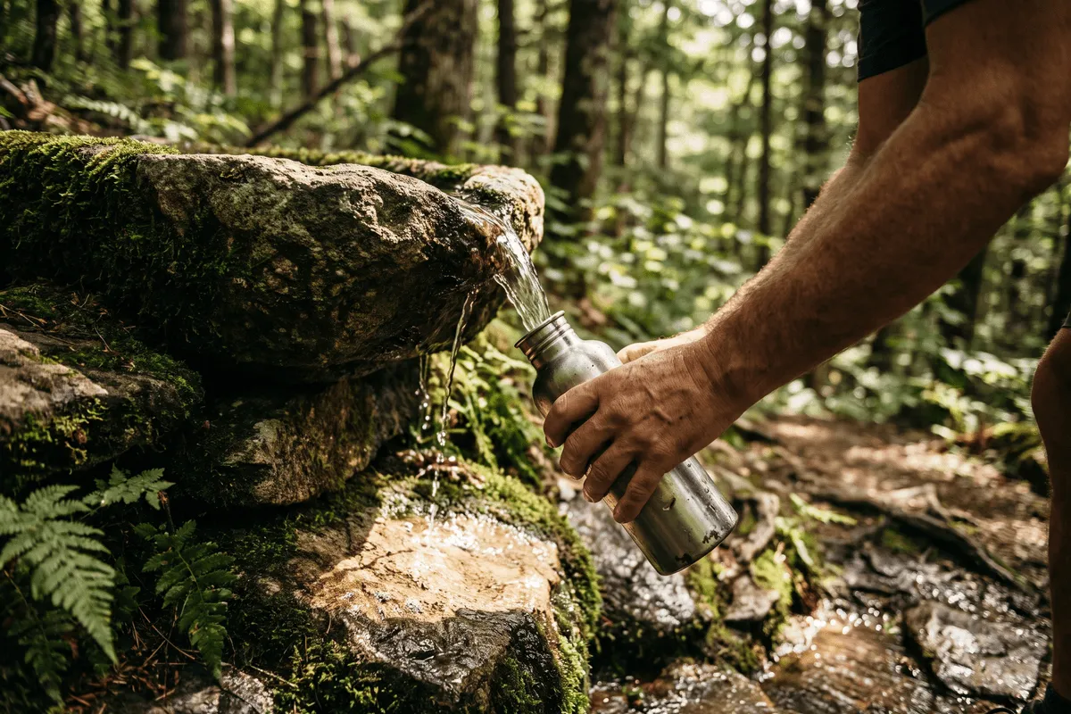
Water and resupply
Know where the reliable water points are before each stage, and treat anything you are unsure of. On dry or high routes, water availability shapes where you can stop.
Maps & apps worth having
None of these app links earn us anything, and none of the apps are required. They are simply the tools long-distance walkers most often rely on.
Route planning and turn-by-turn offline navigation, strong for multi-day stage planning.
Detailed topographic layers and GPX import — a favourite for high mountain routes.
A huge library of user-recorded tracks; useful for seeing how others actually walked a stage.
Trail database with recent trip reports, handy for current conditions and closures.
Free, offline OpenStreetMap navigation with no account and no tracking.
Layered forecast models — the clearest read on wind, rain and cloud base in the mountains.
Forecasts by altitude band, so you can see conditions at the col rather than in the valley.
Download the offline language pack before you go; invaluable in small villages and huts.
External links open in a new tab. We don’t control their content.
A realistic checklist
Not a shopping list — a sanity check. Adjust for the season, the altitude and whether your main bag is being transferred.
- Broken-in footwear and two or three pairs of proper walking socks
- Waterproof jacket and, above the tree line, waterproof trousers
- Insulating layer that still works when damp
- Daypack big enough for water, food and layers
- Two litres of water capacity, more on dry sections
- Sun hat, sunglasses and high-factor sun cream
- Head torch with fresh batteries
- Blister kit, tape and basic first aid
- Offline maps, route GPX and a paper backup
- Power bank and the right plug adapter
- Some cash — many huts and rural albergues take nothing else
- Earplugs and a lightweight sleep liner for shared rooms
Ready to pick a route?
Every trail guide applies the same checks, so you can compare honestly.