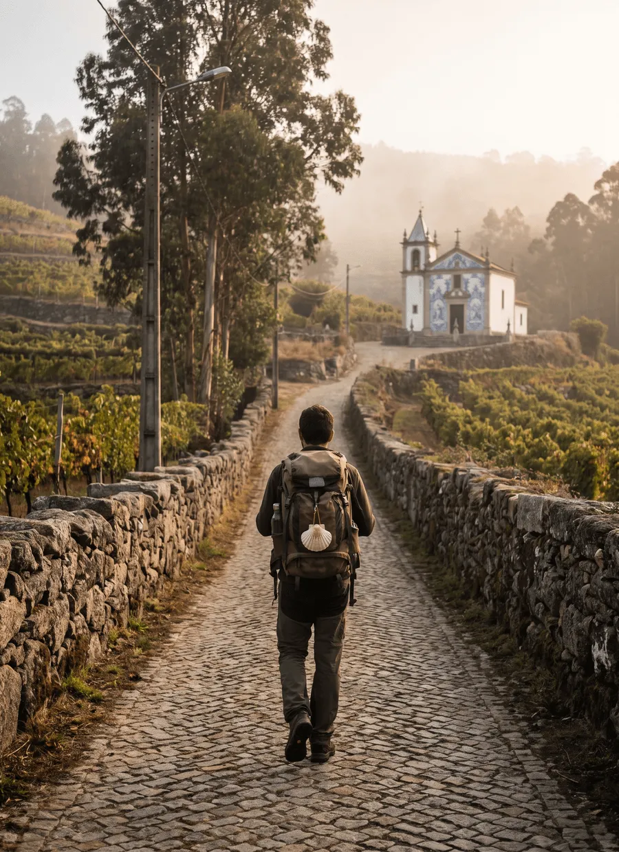
Kii Peninsula, Wakayama · Nakahechi route, Takijiri-oji to Nachi
Kumano Kodo
A pilgrimage through cedar mountains to the three Kumano shrines
At a glance
- Distance
- 120 km
- Duration
- 5–12 days
- Elevation gain
- 5,000 m
- Highest point
- 700 m
- Difficulty
- Moderate
- Countries
- Japan
- Best season
- March to November, with April and May or October and November the most comfortable months.
- Waymarking
- Excellent
- Water points
- Moderate
- Luggage transfer
- On some stages
- Accommodation
- Ryokan & minshuku, Guesthouses & B&Bs
- Permits & bookings
- Not required
City days
In Osaka and Kyoto, on the way to the trail
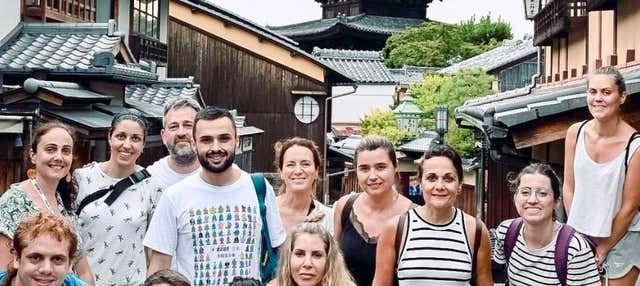
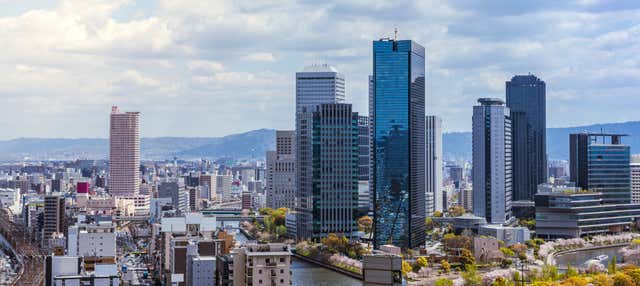
Kansai airport, near Osaka, is the usual way in, and many walkers finish with a few days in Kyoto. Kii-Tanabe, the gateway to the trail, is about two and a half hours away by train. Free walking tours for those city days; they are not a Kumano Kodo package.

Affiliate links: if you book through them we may earn a commission, at no extra cost to you. It never changes our stage, distance or luggage information. (Civitatis) How the project is funded
Before or after the walk
Tours and visits in Kii-Katsuura · Kōyasan
A few well-rated options near Kumano Kodo, for the rest days either side of the trail. Prices are the provider’s current starting price.
 Kii-Katsuura tuna auction at dawn: private guided visitfrom €51See details ↗
 Kōyasan half day with a licensed guide: Okunoin, Kongōbu-ji, Garanfrom €94See details ↗
 Kōyasan full day, private: temples, Okunoin cemetery and shōjin lunchfrom €114See details ↗
Affiliate links: if you book through them we may earn a commission, at no extra cost to you. It never changes our stage, distance or luggage information. (Viator) How the project is funded
The route
The Kumano Kodo is a network of pilgrimage routes across the Kii Peninsula south of Osaka, walked for more than a thousand years towards the three Kumano Sanzan shrines. The Nakahechi, the imperial route from the west coast, is the one most walkers mean. It begins at the small shrine of Takijiri-oji near Tanabe and works east through forested ridges to Kumano Hongū Taisha, then south to Kumano Nachi Taisha above the Pacific. Counting the connecting sections, the walk described here totals about 120 km. UNESCO lists it alongside the Camino de Santiago.
This is a mountain path rather than a mountain route: roughly 5,000 m of cumulative ascent, a highest point around 700 m, and no exposure anywhere. The character is relentless small climbing on stone steps, packed earth and cedar root, in and out of steep-sided valleys under dense plantation forest. Views open only at the passes and at hilltop hamlets such as Takahara. Rain is frequent on this coast and the stone turns slick. The Ogumotori-goe section between Koguchi and Nachi is steep in both directions and is the hardest single day.
Seven days is the common answer to how long the Kumano Kodo takes, though the walking splits into short, uneven stages set by where the inns are. Takijiri-oji to Takahara is only 4 km but climbs hard; Takahara to Chikatsuyu is 10 km; Chikatsuyu to Hongū is 25 km and the long day of the trip; Hongū to Yunomine Onsen is a 4 km epilogue; Koguchi to Kumano Nachi Taisha is 15 km of steep ladder. Five days is possible using local buses for the road sections, twelve if you add the Kohechi or Iseji.
The season runs from March to November. April and May bring blossom and fresh green with mild temperatures. October and November are dry, clear and the best month-for-month choice. Midsummer on the Kii Peninsula is hot, very humid and the main typhoon window, when closures after landslides are a real possibility. Winter walking is feasible on the lower Nakahechi but inns thin out and the passes can hold snow. The route rarely feels crowded in the European sense, yet the small inns at Chikatsuyu and Yunomine are few, so season pressure lands on beds.
You sleep in ryokan, minshuku and small guesthouses in villages along the route, usually with dinner and breakfast included because there is nowhere else to eat. Capacity is genuinely small — a hamlet may have three or four houses taking guests — and this is the hardest part of planning. The regional tourism bureau operates a reservation system covering many of the inns, which is the practical route for walkers without Japanese. Booking several months ahead is normal for spring and autumn. Many walkers base two nights at Yunomine or Kawayu Onsen and use buses between sections.
The Nakahechi suits walkers who want a cultural route with real climbing but no technical ground, and who are comfortable with short days, early dinners and shared bathing. It rewards an interest in the shrines, the onsen and the oji wayside altars more than an appetite for summit views. It suits less well people who want long daily distances, who need western food or English at every counter, or who dislike logistics. Buses, cash, luggage cut-offs and tiny inns make this a route you plan carefully in advance rather than improvise.
Sample stages
A representative breakdown, not a prescription — most walkers adjust daily distances to their pace, rest days and the weather.
- Day 1 Takijiri-oji → Takahara 4 km
- Day 2 Takahara → Chikatsuyu 10 km
- Day 3 Chikatsuyu → Hongū 25 km
- Day 4 Hongū → Yunomine Onsen 4 km
- Day 5 Koguchi → Kumano Nachi Taisha 15 km
- Sample total 58 km
Practical notes
The things that change how a walk actually goes.
Expect stone steps, cedar roots and packed earth rather than smooth path, with about 5,000 m of ascent over the route. Nothing is exposed, but the constant short climbs are tiring and wet stone is slippery. Grippy soles and poles both earn their weight.
Many minshuku, village shops and rural buses take cash only, and ATMs that accept foreign cards are concentrated in Tanabe, Hongū and Shingū. Draw enough yen before you start walking, and expect to settle inn bills, dinner included, in notes.
Vending machines appear surprisingly often in the villages and there are marked spring water points, but the Chikatsuyu to Hongū stage covers 25 km with almost nothing open. Ask your inn for a packed lunch the night before; most will make one.
The Nakahechi is designed around the local bus lines, and using them to skip road sections or return to the same inn is normal practice rather than cheating. Services are infrequent and stop early in the evening, so plan each day around the timetable.
Late summer and early autumn bring typhoons, and landslides do close sections; the trail authority posts current diversions. In the humid months land leeches are common in the forest between Takijiri and Chikatsuyu. Long socks or gaiters mostly deal with them.
Getting there & back
Kansai International Airport near Osaka is the usual arrival point. From there the Kuroshio limited express runs down the coast to Kii-Tanabe in roughly two and a half hours, with a change at Tennōji or Shin-Ōsaka depending on the service. Local buses from Kii-Tanabe station reach Takijiri-oji in about 40 minutes and are timed loosely around the trains. Many walkers spend the first night in Tanabe to start early; it is also the last easy place to buy supplies or draw cash.
From Kumano Nachi Taisha, buses run down to Kii-Katsuura station in about 20 minutes. From there the Kuroshio continues north along the coast to Shin-Ōsaka in around four hours, or you can carry on to Nagoya around the eastern side of the peninsula, which suits an onward trip to Kyoto or Tokyo. Nachi and Katsuura both have onsen hotels, and a night there before travelling is a common way to finish rather than chasing a late train.
Luggage transfer on this route
Bag transfer works on the Kumano Kodo, but not everywhere. Courier services and inn-to-inn arrangements cover the road-connected villages of the Nakahechi, and forwarding a suitcase ahead to Hongū, Shingū or Nachi is routine. The gaps are Koguchi, reached only by a narrow mountain road, and the stops on the high passes, where you carry everything for that stage.
Luggage transfer on long-distance trailsOfficial sources & maps
Go straight to the primary sources. We link out rather than re-publish, because these are the pages that stay current.
External links open in a new tab. We don’t control their content.
Frequently asked
How many days do you need for the Kumano Kodo?
Five to seven days covers the Nakahechi properly, with seven the usual choice for the 120 km described here. Stages are short and uneven because the inns dictate where you stop, so daily distances range from 4 km to 25 km. Allow extra days for the Kumano-gawa boat, the Nachi area, or a second route such as the Kohechi.
Is the Kumano Kodo harder than the Camino?
Steeper, shorter and wetter. There is no altitude problem and nothing technical, but roughly 5,000 m of ascent over 120 km means far more climbing per kilometre than the Camino Francés, and almost all of it is on steps. The Camino is harder on the feet over time; the Nakahechi is harder on the legs each day.
When is the best time to walk it?
March to November is the season, and April to May or October to November are the best of it: mild, drier and clearer. Midsummer is hot and very humid with a real typhoon risk, and heavy rain closes sections. Winter is walkable at low level, but many inns close and the passes can be icy.
Do I need to speak Japanese?
No, but prepare for it. Waymarking is excellent and signed in English, and the main tourism bureau publishes English information and runs a reservation service for inns. In the villages themselves English is limited, so carry a translation app with the offline pack downloaded, plus written confirmations of every booking.
Can I get a dual pilgrim certificate with the Camino?
Yes. Kumano and Santiago de Compostela have a formal partnership, and walkers who complete qualifying sections of both can register as dual pilgrims at Kumano Hongū Taisha or in Santiago. You need proof of both walks, which means keeping your Camino credencial and collecting the stamps along the Nakahechi.
Are there luggage lockers, and can I skip stages?
Both are normal here. Coin lockers at Kii-Tanabe and Kii-Katsuura stations take large bags, courier services forward suitcases between towns, and the bus network is built around walkers who skip road sections or return to the same inn for two nights. Nobody treats the buses as a shortcut to be hidden.
Pick a trail.
No sign-up, no sales call. Just the data, the sources and the links you need to plan a long walk properly.