Western Alps · France, Italy and Switzerland
Tour du Mont Blanc
A 170 km circuit of the massif through three countries
At a glance
- Distance
- 170 km
- Duration
- 7–11 days
- Elevation gain
- 10,000 m
- Highest point
- 2,665 m
- Difficulty
- Challenging
- Countries
- France · Italy · Switzerland
- Best season
- Late June to mid-September
- Waymarking
- Excellent
- Water points
- Frequent
- Luggage transfer
- On some stages
- Accommodation
- Refuges, Mountain huts, Hotels
- Permits & bookings
- Not required
City days
On arrival in Geneva
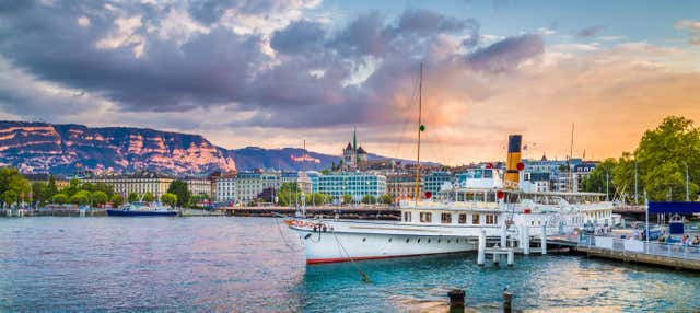
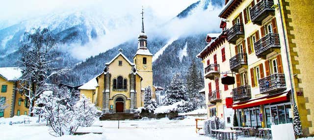
Geneva is the practical airport for Chamonix. With a few hours to spare before the transfer, or an afternoon before the flight home, there is a short cruise on the lake from the city quays. For anyone in your group who is not walking, there is also a coach day trip from Geneva to Chamonix, with commentary in English. Neither is part of the trail.
Affiliate links: if you book through them we may earn a commission, at no extra cost to you. It never changes our stage, distance or luggage information. (Civitatis) How the project is funded
Before or after the walk
Tours and visits in Chamonix · Courmayeur
A few well-rated options near Tour du Mont Blanc, for the rest days either side of the trail. Prices are the provider’s current starting price.
 Tandem paragliding over Chamonix, take-off from Plan-Prazfrom €179See details ↗
 Skyway Monte Bianco from Courmayeur: up to Punta Helbronner (3,466 m)from €147See details ↗
 Rafting on the Arve at the foot of Mont Blanc, Chamonixfrom €77See details ↗
Affiliate links: if you book through them we may earn a commission, at no extra cost to you. It never changes our stage, distance or luggage information. (Viator) How the project is funded
The route
The Tour du Mont Blanc is a 170 km circuit of the Mont Blanc massif, starting and finishing at Chamonix and passing through France, Italy and Switzerland. It is a loop, so there is no logistical tail to arrange at the far end. The classic direction is anticlockwise, which puts the Col du Bonhomme early and the Aiguilles Rouges balcony last. You never climb Mont Blanc; you walk around it, keeping the summit and its glaciers in view from valley floors, high cols and hut terraces.
The numbers explain the challenge better than the distance does: roughly 10,000 m of ascent over 170 km, which means most days involve climbing and then losing 800 to 1,200 m. The highest point is the Fenêtre d’Arpette at 2,665 m, one of two options above Champex-Lac, and the route also crosses Col de la Seigne into Italy and the Grand Col Ferret into Switzerland. Paths are well built and superbly waymarked, with occasional boulder fields, a few short chained sections and steep, stony descents that punish knees.
Eleven days is the usual schedule: Chamonix to Les Houches at 16 km, on to Les Contamines at 15 km, up to Refuge de la Croix du Bonhomme at 13 km, down to Courmayeur at 17 km, then La Fouly, Champex-Lac and back to Chamonix in stages of 15 to 20 km. Seven days is possible for fit walkers using the cable cars at Les Houches and Courmayeur and the valley buses. Half tours are common too, with Chamonix to Courmayeur taking four or five days.
The season is short. Snow lingers on the high cols into early July, and huts open from roughly mid-June and close between mid and late September. July and August have the most reliable weather and the most people; late June and the first half of September are quieter, with the trade-off of possible snow at one end and closing refuges at the other. Afternoon thunderstorms build regularly in summer, which is why hut wardens want you over the col by early afternoon.
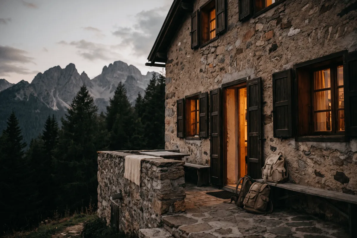
Nights are spent in refuges and gîtes d’étape, mostly in shared dormitories, with half board the standard arrangement. Reservations for July and August open early and popular huts fill within days or weeks of opening, often in the winter or early spring before the season. Hotels and apartments are available in Chamonix, Les Contamines, Courmayeur, La Fouly and Champex, which is why the valley towns are easier to book late. Some Italian rifugi still prefer cash, and Switzerland uses francs.
The route suits fit hillwalkers who are comfortable with sustained ascent, long descents and short exposed sections, and who are happy in dormitories. It does not require rope, technical climbing or glacier travel. It suits less well anyone whose training has been on flat ground, walkers who need their bag moved every night, or those who want to decide each morning where to sleep, since the hut system rewards planning months ahead.
Sample stages
A representative breakdown, not a prescription — most walkers adjust daily distances to their pace, rest days and the weather.
- Day 1 Chamonix → Les Houches 16 km
- Day 2 Les Houches → Les Contamines 15 km
- Day 3 Les Contamines → Refuge de la Croix 13 km
- Day 4 Refuge de la Croix → Courmayeur 17 km
- Day 5 Courmayeur → La Fouly 15 km
- Day 6 La Fouly → Champex-Lac 18 km
- Day 7 Champex-Lac → Chamonix 20 km
- Sample total 114 km
Practical notes
The things that change how a walk actually goes.
Averaging 15 km a day sounds modest until you add 900 m of climb and a similar descent. Training on hills with a loaded pack, and using poles on the long descents from Bonhomme and Grand Col Ferret, matters more than any gear choice.
Col des Fours, Col du Bonhomme and the Fenêtre d’Arpette can hold hard snow into early July. Local hut wardens and the Chamonix guides office give current conditions, and the standard answer in a bad snow year is to take the lower variant.
Huts on the high sections are small and fill months ahead for July and August. Book the whole itinerary before you book flights, keep some cash for Italian rifugi and Swiss francs for the Swiss stages, and confirm dietary needs when you reserve.
Streams, village taps and huts mean a litre and a half is usually enough between refills. Afternoon thunderstorms are the standard summer pattern, so start early, be off high cols by mid-afternoon, and treat a still, heavy morning as a warning.
In late August the UTMB races use much of the route, filling accommodation across all three valleys. Several high variants, including the Fenêtre d’Arpette and Col des Fours, are harder and more exposed than the main line, with signposted lower alternatives.
Getting there & back
Geneva is the practical airport for Chamonix. Shared shuttles and private transfers run the 90 km in about an hour and a quarter, and the road can be slow on winter and summer Saturdays. By rail, trains from Geneva or Lyon reach Saint-Gervais-les-Bains-Le Fayet, where the Mont Blanc Express climbs the valley to Chamonix in about 40 minutes. From Italy, buses run from Courmayeur through the Mont Blanc tunnel, connecting with trains from Turin and Milan at Aosta.
Because the Tour du Mont Blanc is a loop, you finish where you started, which removes the usual end-of-trail transfer problem. Walkers who close the circuit at Les Houches take the valley bus or train the last few kilometres into Chamonix. If you walk only half and stop in Courmayeur, buses cross to Chamonix through the tunnel, or run down the Aosta valley for trains to Turin and Milan. From Champex or Martigny, Swiss trains reach Geneva in around two hours.
Luggage transfer on this route
Bag transfer works on some stages only. Vans can reach the valley towns — Les Houches, Les Contamines, Courmayeur, La Fouly, Champex-Lac, Trient and Argentière — but the high refuges at Croix du Bonhomme, Elisabetta and Bonatti have no road access, so on those nights you carry everything yourself. Most walkers therefore pack as if unsupported and use transfers only to move a spare bag between valleys.
Luggage transfer on long-distance trailsOfficial sources & maps
Go straight to the primary sources. We link out rather than re-publish, because these are the pages that stay current.
External links open in a new tab. We don’t control their content.
Frequently asked
How difficult is the Tour du Mont Blanc?
Challenging as a long walk, not as a climb. There is no technical ground, but around 10,000 m of ascent over 170 km means daily climbs of 800 to 1,200 m, often on stony paths with steep descents. Anyone comfortable with repeated full days in hill country can complete it; flat-ground fitness is not enough.
How many days do you need, and can it be done in a week?
Eleven days is the standard itinerary. Seven is realistic for strong walkers who use the Bellevue and Courmayeur lifts and the valley buses to trim two or three sections. Below that you are effectively running it. Splitting the loop into two halves across separate holidays is also common.
When should I book the refuges?
As early as you can for July and August. Many huts open reservations months ahead, sometimes on a fixed date in winter or early spring, and the popular ones fill quickly. Build the itinerary first, then book the high refuges, then the valley towns, which have far more capacity.
Clockwise or anticlockwise?
Anticlockwise is the traditional direction and the one most itineraries, hut bookings and guidebooks assume. It puts the big French cols early and finishes with the Aiguilles Rouges balcony above Chamonix. Clockwise means walking against the flow of other groups, but it gives you the Mont Blanc panorama ahead more often.
Can I camp along the route?
Partly. There are campsites in the valley towns and some refuges allow tents on their land or run a bivouac area, but rules differ between France, Italy and Switzerland and wild camping is restricted, particularly in protected zones. Carrying a tent adds weight on a route with 10,000 m of climbing.
Do I need crampons or an ice axe?
Not in the normal season. From late June to mid-September the standard route is a walking route. In an early or heavy snow year, one or two cols can hold firm snow where poles and care are needed, and hut wardens will point you to the lower variant instead. Glacier equipment is never part of this trail.
Pick a trail.
No sign-up, no sales call. Just the data, the sources and the links you need to plan a long walk properly.