Northern Portugal and Galicia · Porto to Santiago
Camino Português
Twelve days from Porto to Santiago on granite and cobble
At a glance
- Distance
- 240 km
- Duration
- 10–14 days
- Elevation gain
- 3,500 m
- Highest point
- 410 m
- Difficulty
- Easy
- Countries
- Portugal · Spain
- Best season
- March to October
- Waymarking
- Excellent
- Water points
- Frequent
- Luggage transfer
- Widely available
- Accommodation
- Albergues, Guesthouses & B&Bs, Hotels
- Permits & bookings
- Not required
City days
Where the Way starts and ends: Porto and Santiago de Compostela
Porto is the classic starting city and Santiago is where the Way ends. Free tours and guided visits for the day before you set off or the day after you arrive. They are city visits, not a Camino package: the walk itself is not included.
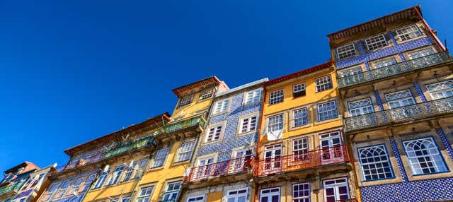 Porto Free Walking TourSee details ↗
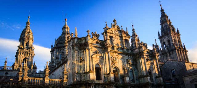 Santiago de Compostela Free Walking TourSee details ↗
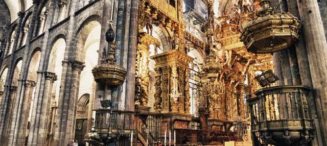 Santiago de Compostela Cathedral & Museum Guided Tourfrom €25See details ↗
Affiliate links: if you book through them we may earn a commission, at no extra cost to you. It never changes our stage, distance or luggage information. (Civitatis) How the project is funded
Before or after the walk
Walk it with luggage transfer included
Self-guided packages on Camino Português: a hotel booked at the end of each stage and your bag moved ahead every morning. Prices are the provider’s current starting price.

Affiliate links: if you book through them we may earn a commission, at no extra cost to you. It never changes our stage, distance or luggage information. (Viator) How the project is funded
The route
The Camino Português is the second most walked route to Santiago, and the Central variant from Porto is the version most people mean. It covers 240 km, leaving the Sé cathedral in Porto and heading north through the Minho by way of Vairão, Barcelos and Ponte de Lima, crossing the Rio Minho at Valença into Spanish Tui, then continuing through Redondela, Pontevedra, Caldas de Reis and Padrón to Santiago de Compostela. A separate coastal route, the Caminho da Costa, follows the Atlantic and rejoins near Redondela.
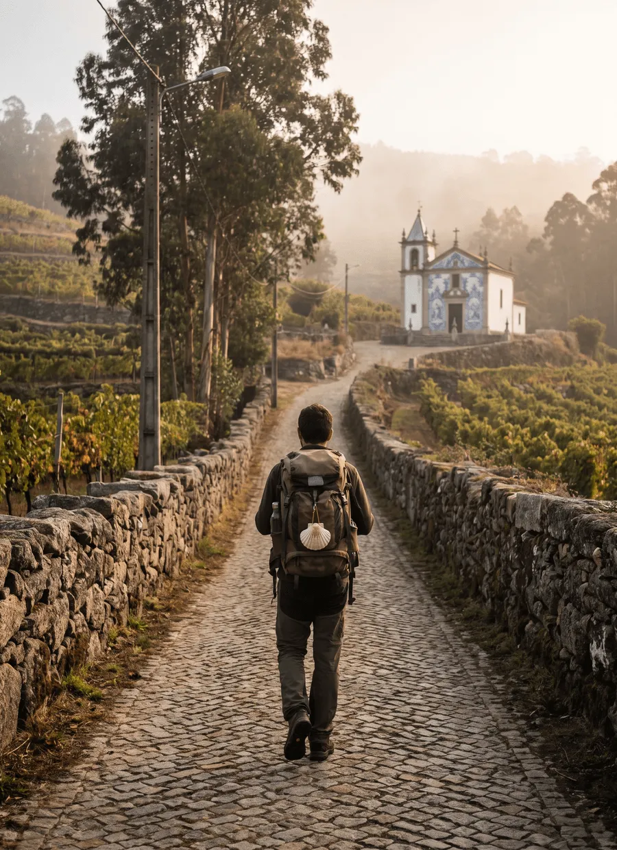
It is the gentlest of the major Caminos on paper and the hardest on the soles of your feet. Total ascent is about 3,500 m over 240 km and the highest point is only 410 m, on the Labruja climb north of Ponte de Lima. What defines the walking is calçada: granite setts and old paved lanes, sometimes Roman in origin, uneven and unforgiving hour after hour. Add farm lanes between vineyards, riverside paths and a fair amount of village tarmac.
Twelve days is the standard length, an average of 20 km a day, with ten days possible for strong walkers and fourteen giving room to linger in Pontevedra or Ponte de Lima. Well-known splits include Porto to Vairão at 26 km, the long 33 km from Barcelos to Ponte de Lima, which is often broken at Balugães or Vitorino dos Piães, Ponte de Lima to Rubiães at 18 km, and Padrón to Santiago at 25 km. Valença to Tui is only 3 km across the international bridge, so it is nearly always tacked onto the day before or after.
The season is long: March to October, and short winter days aside, the route is walkable most of the year. April, May, September and early October are the pick. Spring in the Minho is green because it rains hard, and July and August combine heat with the busiest beds of the year. Because Tui is just over 100 km from Santiago, numbers jump sharply there as short-distance walkers start; the Portuguese half is noticeably quieter than the Galician half in every month.
Accommodation runs from municipal and parish albergues to private hostels, quintas, casas and small hotels. Portugal has fewer pilgrim beds per stage than Spain and they are spread more thinly, so on the Portuguese half booking a day or two ahead is more useful than on the Camino Francés. From Tui onwards the Galician network of albergues takes over, larger but busier. A credencial is needed for pilgrim accommodation and for the Compostela.
It suits walkers with a fortnight rather than a month, first-timers who would rather not start with a mountain pass, and anyone interested in Portuguese food, markets and river towns. Because it is flat and well signed it is a common choice for a first long walk. It is a poor choice for people who want mountains or solitude, and the cobbles are a real problem if you have a history of plantar fasciitis or weak ankles.
Sample stages
A representative breakdown, not a prescription — most walkers adjust daily distances to their pace, rest days and the weather.
- Day 1 Porto → Vairão 26 km
- Day 2 Barcelos → Ponte de Lima 33 km
- Day 3 Ponte de Lima → Rubiães 18 km
- Day 4 Valença → Tui 3 km
- Day 5 Padrón → Santiago de Compostela 25 km
- Sample total 105 km
Practical notes
The things that change how a walk actually goes.
Long sections of granite setts and old paving concentrate pressure on the forefoot and heel. Walkers who cope best use shoes with a stiff midsole and real cushioning rather than minimal soles, and keep daily distances shorter in the first three days.
The first 15 to 20 km are suburban pavement and industrial edge. Plenty of pilgrims ride the metro to Vilar do Pinheiro or take the boat across to Matosinhos and start walking there, which is a choice about enjoyment rather than distance.
Village fountains and pastelarias appear most hours, so heavy water carrying is unnecessary. The exception is the 33 km Barcelos to Ponte de Lima stage, where services are patchy in the middle and Sunday closures can leave a long dry gap.
The two routes diverge at Porto and only rejoin near Redondela. The Coastal route has beaches, boardwalk and Atlantic wind; the Central has cobbles, churches and river towns. Mixing them mid-route is possible but complicates bag transfer and reservations.
Tui sits just beyond the 100 km mark, so numbers rise sharply from there to Santiago as short-distance walkers join. In July and August it is worth booking the Galician stages in advance, even if you walked the Portuguese half without reservations.
Getting there & back
Porto is the easiest major Camino start to reach. The airport is on metro line E, about half an hour from Trindade and the city centre, and long-distance trains arrive at Campanhã from Lisbon in roughly three hours and from Vigo in around two. The traditional starting point is the Sé cathedral in the old town, where the first credencial stamp is available; the Bom Jesus stamp office and several albergues in the historic centre serve the same purpose.
Santiago de Compostela has an airport 12 km from the centre with connections to Madrid, Barcelona and a spread of European cities. Coaches run back to Porto in about four hours, which is what most walkers use if they flew into Portugal, and trains connect to Vigo, A Coruña and Madrid. If you have days to spare, the 90 km continuation to Finisterre takes three or four days and ends with a bus back to Santiago.
Luggage transfer on this route
Bag transfer is widely available along the Central route. Portuguese and Galician operators run daily services between Porto and Santiago, collecting from your accommodation in the morning and delivering to the next, typically with a 20 kg limit per bag. Given how hard the cobbles are on tired feet, a large share of walkers on this route use it. Some municipal albergues will not accept bags before their opening hour.
Luggage transfer on long-distance trailsOfficial sources & maps
Go straight to the primary sources. We link out rather than re-publish, because these are the pages that stay current.
External links open in a new tab. We don’t control their content.
Frequently asked
How many days does it take to walk from Porto to Santiago?
Twelve days is standard on the Central route, averaging 20 km a day. Ten days is feasible if you are used to 25 km stages, and fourteen leaves room for rest in Pontevedra or Ponte de Lima. The Coastal route from Porto is slightly longer and usually walked in twelve to thirteen days.
Should I walk the Central or the Coastal route?
The Central route is the historic one, with granite paving, Barcelos, Ponte de Lima and Tui. The Coastal route trades those for beaches, boardwalks and sea wind, and has more hotel-style accommodation. Both qualify for the Compostela. Choose the Coastal for scenery and the Central for towns, churches and pilgrim atmosphere.
Is the Camino Português easier than the Camino Francés?
In terms of climbing, clearly: about 3,500 m of ascent over 240 km, with a high point of 410 m. It is shorter and flatter, which is why it is graded easy. The cobbled surfaces are harder on feet than anything on the Francés, so it is not effortless, just less mountainous.
Do I get a Compostela if I start in Porto?
Yes. Porto is 240 km from Santiago, well beyond the 100 km minimum for walkers. You need a credencial with two stamps a day over the final 100 km, which begins around Tui. If you start further north than Tui you will fall short, so plan the start point with that line in mind.
When is the best time to walk it?
March to October is the practical window, with late April to June and September into early October the most reliable. Minho spring can be very wet. July and August are hot, and the Galician stages after Tui are crowded. Winter walking works but expect rain, short days and some closed albergues.
Can I skip the industrial exit from Porto?
Many walkers do. Taking the metro north to Vilar do Pinheiro removes roughly 15 km of suburb and pavement, and the ferry to Matosinhos is the usual shortcut onto the Coastal route. Neither affects your Compostela, since both leave far more than 100 km still to walk.
Pick a trail.
No sign-up, no sales call. Just the data, the sources and the links you need to plan a long walk properly.