Northern Spain · French Pyrenees to Galicia
Camino de Santiago
The 790 km route that made walking to Santiago a habit
At a glance
- Distance
- 790 km
- Duration
- 30–35 days
- Elevation gain
- 12,000 m
- Highest point
- 1,505 m
- Difficulty
- Moderate
- Countries
- Spain · France
- Best season
- April to October
- Waymarking
- Excellent
- Water points
- Frequent
- Luggage transfer
- Widely available
- Accommodation
- Albergues, Guesthouses & B&Bs, Hotels
- Permits & bookings
- Not required
City days
On arrival in Santiago de Compostela
Guided visits and day trips from Santiago, for the day after you collect the Compostela. They are city visits, not a Camino package: the walk itself is not included.
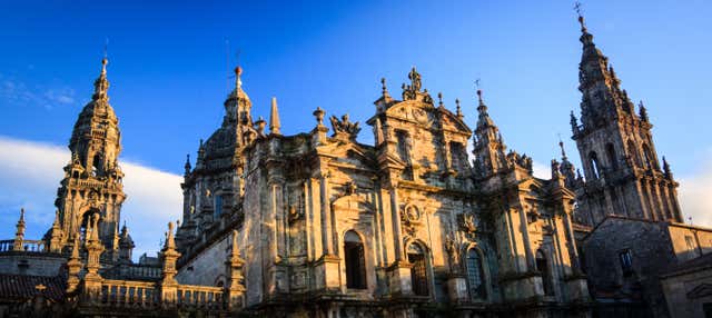 Santiago de Compostela Free Walking TourSee details ↗
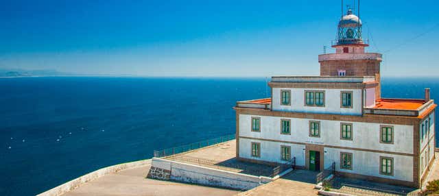 Finisterre, Muxía, & Costa da Morte Day Tripfrom €52See details ↗
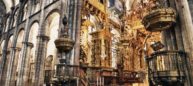 Santiago de Compostela Cathedral & Museum Guided Tourfrom €25See details ↗
Affiliate links: if you book through them we may earn a commission, at no extra cost to you. It never changes our stage, distance or luggage information. (Civitatis) How the project is funded
Before or after the walk
Walk it with luggage transfer included
Self-guided packages on Camino de Santiago: a hotel booked at the end of each stage and your bag moved ahead every morning. Prices are the provider’s current starting price.
 Camino Francés from Sarria: 7 days with hotels and bag transferfrom €945See details ↗
 Self-guided Camino Francés from Sarria: 8 days, 6 walkingfrom €2,701.20See details ↗
Affiliate links: if you book through them we may earn a commission, at no extra cost to you. It never changes our stage, distance or luggage information. (Viator) How the project is funded
The route
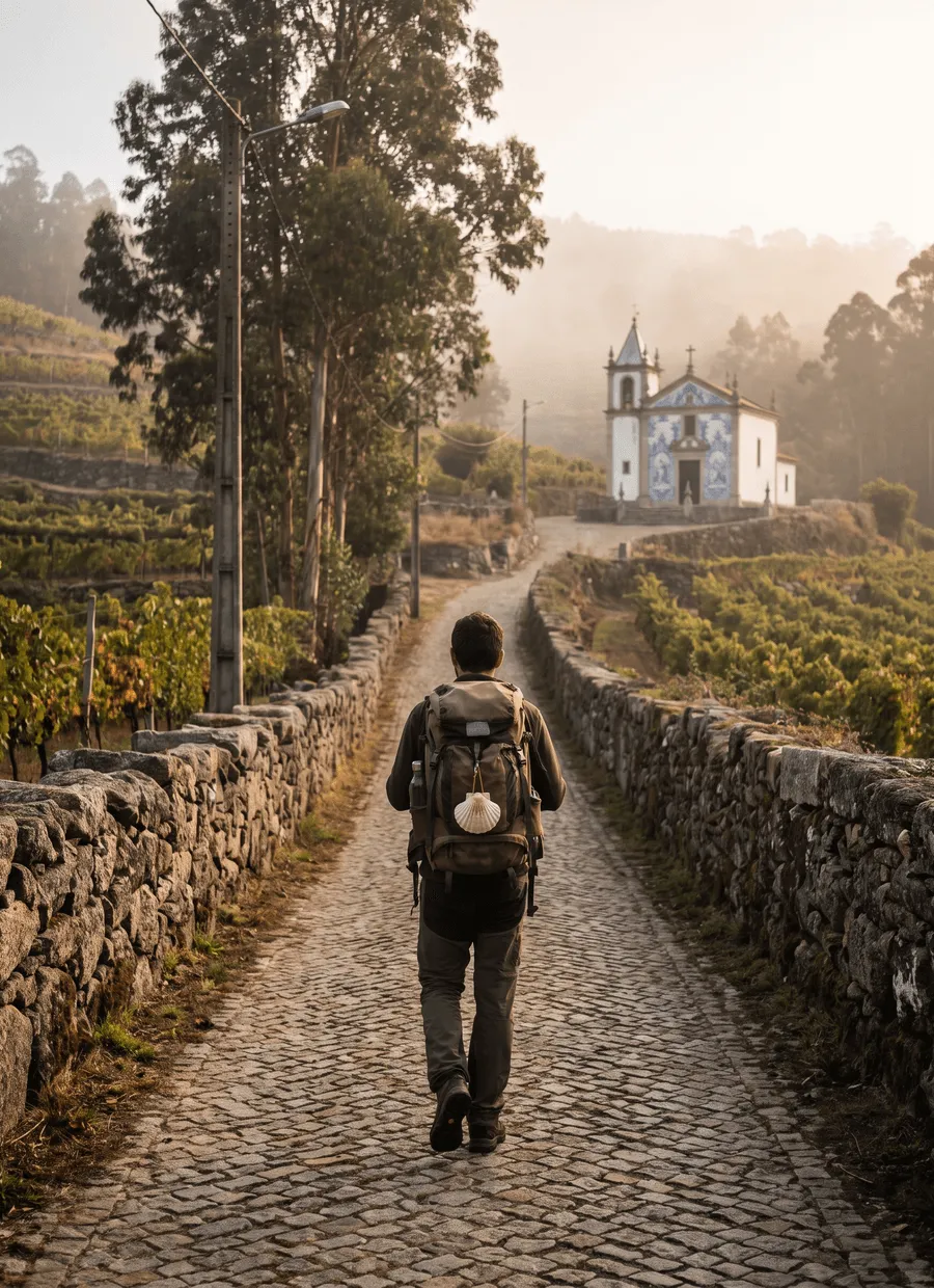
The Camino Francés is the busiest and best documented of the routes to Santiago de Compostela. It runs 790 km from Saint-Jean-Pied-de-Port, in the French Basque foothills, across the Pyrenees and then west through Navarre, La Rioja, the wheat plains of Castilla y León and the wooded hills of Galicia, finishing at the cathedral in Santiago de Compostela. Yellow arrows and scallop shells mark almost every junction. This is not a wilderness route: villages, bars and water taps arrive at intervals of a few kilometres for most of its length.
The walking is long rather than steep. Roughly 12,000 m of ascent is spread over a month, and the highest point is the Cruz de Ferro at 1,505 m, in the hills before Ponferrada. Two days stand out: the Pyrenean crossing from Saint-Jean-Pied-de-Port to Roncesvalles, 25 km with about 1,200 m of climb, and the pull up to O Cebreiro on the Galician border. Underfoot you get farm tracks, compacted gravel paths built alongside main roads, and enough tarmac that footwear and blister management matter more than fitness.
Thirty-three days is the standard figure, an average of about 24 km a day, and 35 days is a comfortable version with a rest day in Burgos or León. The stage pattern is well established: Saint-Jean-Pied-de-Port to Roncesvalles at 25 km, Pamplona to Puente la Reina at 24 km, Sarria to Portomarín at 22 km, Arzúa to O Pedrouzo at 19 km and a final 20 km into Santiago. The shorter figure of about a week that people often see quoted refers to the last 100 km from Sarria, which is the minimum distance for a Compostela.
The season runs from April to October. May, June and September are the steadiest months for temperature and daylight. July and August bring 35°C or more to the meseta between Burgos and León, where shade is rare and the stages are long. Galicia is green because it rains, in any month. Crowding is uneven: the first week out of Saint-Jean fills in late spring, the meseta thins out, and numbers spike again from Sarria onwards where short-distance walkers join. Holy Years, when the feast of St James falls on a Sunday, raise numbers noticeably.
Accommodation is a mix of municipal, parish and private albergues, plus pensiones, casas rurales and hotels in the larger towns. Albergues need a pilgrim credencial, stamped daily, which also serves as the record for the Compostela. Municipal beds are usually first-come, first-served; private albergues and guesthouses take reservations, and booking has become normal practice rather than a betrayal of the spirit of the thing. Between Sarria and Santiago in high season, walking on without a booked bed is a genuine gamble.
The route suits first-time long-distance walkers, people who like company and want the option of changing plans daily, and anyone who prefers villages to mountains. It also works well in sections, since bus and train links are frequent. It suits less well those looking for solitude, high alpine scenery or technical ground. If you have only a week, walking one section properly is a better trip than trying to compress the whole thing.
Sample stages
A representative breakdown, not a prescription — most walkers adjust daily distances to their pace, rest days and the weather.
- Day 1 Saint-Jean-Pied-de-Port → Roncesvalles 25 km
- Day 2 Pamplona → Puente la Reina 24 km
- Day 3 Sarria → Portomarín 22 km
- Day 4 Arzúa → O Pedrouzo 19 km
- Day 5 O Pedrouzo → Santiago de Compostela 20 km
- Sample total 110 km
Practical notes
The things that change how a walk actually goes.
A large share of the route is compacted gravel or tarmac beside roads. Cumulative impact on feet and knees is the usual reason people stop walking, so broken-in shoes, thin liner socks and short first days matter more than hill fitness.
Public fountains and village bars appear most days, and many albergues have kitchens. The exceptions are stretches of the meseta and a few Galician forest sections, where two litres and something to eat in the pack is sensible.
No permit is required to walk. A pilgrim credencial is required to use albergues and to claim the Compostela in Santiago, and needs two stamps a day over the final 100 km. Parishes, albergues, bars and town halls all stamp it.
Numbers concentrate in late June to August and from Sarria onwards all season. Starting a stage an hour earlier, or shifting your day out of phase with the standard guidebook splits, changes the experience more than choosing a different month.
Between Burgos and León there is little shade and few villages on some stages, so summer walkers start at dawn. In the Pyrenees, the high Route de Napoléon is closed by snow risk in winter and early spring; the Valcarlos valley is the alternative.
Getting there & back
Saint-Jean-Pied-de-Port sits in the French Pyrenees, about 50 km inland from Biarritz. Most walkers fly into Biarritz, take the local train or bus to Bayonne, then the branch railway up the Nive valley, which takes a little over an hour. From Paris, a TGV to Bayonne and the same branch line works in a day. Bilbao and Pamplona airports are alternatives, both connected to Saint-Jean by long-distance bus or by the shuttle services that pilgrims use in season.
Santiago de Compostela has its own airport about 12 km from the centre, with a city bus and taxis into town, plus direct flights to Madrid, Barcelona and several European cities. Trains and long-distance coaches run to A Coruña, Vigo, León and Madrid, and there are night coaches back to the Basque Country if you left a car or want to close the loop. A good number of walkers continue on foot for three or four days to Finisterre and Muxía, then return to Santiago by bus.
Luggage transfer on this route
Bag transfer is widely available on the Camino Francés. Several Spanish operators run daily van services along the whole route, collecting from your albergue or hotel in the morning and delivering to the next, usually by early afternoon, with a weight limit around 15–20 kg per bag. Booking is stage by stage, so plans can change. A few municipal albergues will not hold bags before their opening hour.
Luggage transfer on long-distance trailsOfficial sources & maps
Go straight to the primary sources. We link out rather than re-publish, because these are the pages that stay current.
External links open in a new tab. We don’t control their content.
Frequently asked
How many days do you need to walk the Camino Francés?
About 33 days of walking at roughly 24 km a day, or 35 with a rest day or two. Walkers who average 28–30 km finish in under a month, but foot problems are more likely. If you only have a week, the final 100 km from Sarria to Santiago is the usual choice and still qualifies for a Compostela.
What is the best time of year to walk it?
May, June and September give the best balance of daylight, temperature and open accommodation. April and October are quieter and cooler, with more rain in Galicia and some albergues closed. July and August are hot on the meseta and busy everywhere. Winter walking is possible but many albergues shut and the high Pyrenean route is closed.
Do I need to book albergues in advance?
Municipal and parish albergues generally do not take bookings, and fill in the afternoon during busy months. Private albergues, pensiones and hotels do. Between Sarria and Santiago, and in popular towns in high season, booking a day or two ahead is the practical choice. Outside July and August the route absorbs walkers easily.
How hard is the first day over the Pyrenees?
It is the hardest single day on the route: 25 km from Saint-Jean-Pied-de-Port to Roncesvalles with around 1,200 m of ascent to Col de Lepoeder, then a steep descent. Many walkers break it at Orisson, a few hours up. Weather changes fast at that altitude, and the high variant is closed in winter conditions.
How far do I have to walk to receive the Compostela?
At least the final 100 km on foot, which in practice means starting at or before Sarria, with a credencial carrying two stamps a day over that section. The certificate is issued free at the Pilgrim Office in Santiago. A separate distance certificate, showing where you started, can be requested at the same time.
Can I walk the Camino Francés in sections?
Yes, and many people do it over several years. The route follows a corridor served by trains and buses, with airports at Bilbao, Pamplona, Logroño, Burgos, León and Santiago, so most section endpoints are reachable in a day. Common splits are Saint-Jean to Logroño, Logroño to León, and León to Santiago.
Pick a trail.
No sign-up, no sales call. Just the data, the sources and the links you need to plan a long walk properly.