Stages & pacing
Camino Português da Costa stages and daily distances
Fifteen official stages cover the 270 km from Porto to Santiago, seven in Portugal and eight in Galicia, with a boat between the two lists.
The table below joins the official stages on each side of the border. The seven Portuguese ones run from the Cais da Ribeira in Porto to Caminha, 107.4 km. The eight Galician ones run from A Guarda to Santiago, 162.6 km. Between stage 7 and stage 8 the Minho is crossed by boat, from Caminha to A Pasaxe, and that crossing adds no walking distance.
All the stages
| Stage | From | To | Distance |
|---|---|---|---|
| 1 | Porto | Matosinhos | 7.3 km |
| 2 | Matosinhos | Maia | 6.5 km |
| 3 | Maia | Vila do Conde | 5.9 km |
| 4 | Vila do Conde | Póvoa de Varzim | 13.3 km |
| 5 | Póvoa de Varzim | Esposende | 20.5 km |
| 6 | Esposende | Viana do Castelo | 24.6 km |
| 7 | Viana do Castelo | Caminha | 29.3 km |
| 8 | A Guarda | Oia | 16.7 km |
| 9 | Oia | Baiona | 18.7 km |
| 10 | Baiona | Vigo | 27.1 km |
| 11 | Vigo | Redondela | 15.7 km |
| 12 | Redondela | Pontevedra | 18 km |
| 13 | Pontevedra | Caldas de Reis | 22.8 km |
| 14 | Caldas de Reis | Padrón | 18.7 km |
| 15 | Padrón | Santiago de Compostela | 24.9 km |
| Total | 270 km | ||
This split is a suggestion, not a set of fixed days. How far you walk each day depends on your pace and on what you want to stop for.
The Portuguese list follows the municipalities the route crosses, which explains its odd opening: Porto to Matosinhos is 7.3 km, Matosinhos to Maia 6.5 km and Maia to Vila do Conde 5.9 km. The split is a suggestion, and stages can be grouped. Walked together, those three sections make 19.7 km; add the fourth, to Póvoa de Varzim, and the day becomes 33 km.
After that the days lengthen. Póvoa de Varzim to Esposende is 20.5 km, Esposende to Viana do Castelo 24.6 km and Viana do Castelo to Caminha 29.3 km, the longest stage of the route, timed at 8 h 20. In Galicia the long day is Baiona to Vigo, 27.1 km, with the C-550 road for company on the way into the city.
The profile is quickly summarised. No Portuguese stage has a maximum altitude above 140 m. In Galicia the high points are Saiáns (115 m) on the way into Vigo, Trasmañó (328 m) between Vigo and Redondela, Carracedo (152 m) after Caldas de Reis and O Milladoiro (247 m) on the last day. Redondela, 84.4 km from Santiago, is where the coastal route joins the central one.
City days
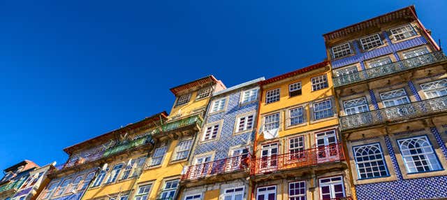
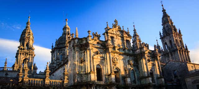
City days at each end: Porto and Santiago de Compostela
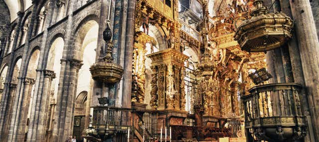
The coastal Way sets out from the Cais da Ribeira in Porto and ends at the cathedral in Santiago. Free tours and guided visits for the day before the first stage or the day after the last one. They are city visits, not a Camino package: the walk itself is not included.
Three ways to pace it
Averages worked out from the route’s real distance, so you can see what each pace actually asks of you day to day.
- Per day
- 22.5 km
Twelve days: Porto to Póvoa de Varzim in one 33 km day, then one stage a day. It only works if a first day that long, all of it on asphalt, does not worry you.
- Per day
- 20.8 km
Thirteen days: the first 33 km split in two wherever you have a bed, for example in Vila do Conde, which the fourth section crosses, then one stage a day. The longest days are then 29.3 and 27.1 km.
- Per day
- 18 km
Fifteen days leaves two spare days over the standard plan. The stages that gain most from being split are the long ones: Viana do Castelo to Caminha, and Baiona to Vigo, which passes A Ramallosa, Nigrán and Coruxo along the way.
These are suggested splits, not an official stage list. Real days are set by where the beds are — always check the accommodation before fixing an itinerary.
The days people underestimate
Viana do Castelo to Caminha, 29.3 km and timed at 8 h 20, is the longest day and ends with the boat still to arrange. Baiona to Vigo is 27.1 km, with 115 m at Saiáns and a long urban approach. Vigo to Redondela is short on paper, 15.7 km, but holds the highest point of the route, 328 m.
If you have less time
With a week, start in Baiona: 127.2 km to Santiago in six stages, enough for the Compostela with room to spare. A Guarda, at 162.6 km, makes eight stages and includes the whole open coast. Vigo is 100.1 km away, too close to the 100 km minimum to rely on.
Frequently asked
How many stages does the coastal route have?
Fifteen official ones: seven between Porto and Caminha and eight between A Guarda and Santiago. Since the first three are under 8 km each, a walking plan has twelve or thirteen days.
What is the longest stage?
Viana do Castelo to Caminha, 29.3 km. In Galicia the longest is Baiona to Vigo, 27.1 km, followed by Padrón to Santiago at 24.9 km.
How much of the route is in Portugal and how much in Spain?
107.4 km in Portugal, from Porto to Caminha, and 162.6 km in Galicia, from A Guarda to Santiago. The boat across the Minho, between the two halves, adds no walking distance.
Can I avoid the boat and stay on foot?
Yes. On the Portuguese bank the route continues from Caminha to Vila Nova de Cerveira (14.8 km) and Valença (15.7 km) and crosses the bridge to Tui. From Tui it is 117.5 km to Santiago by the central Camino Português, which the coastal route meets at Redondela.
Apply it to a real route
Each trail guide gives you the stages, the season and the permits to plug into this method.