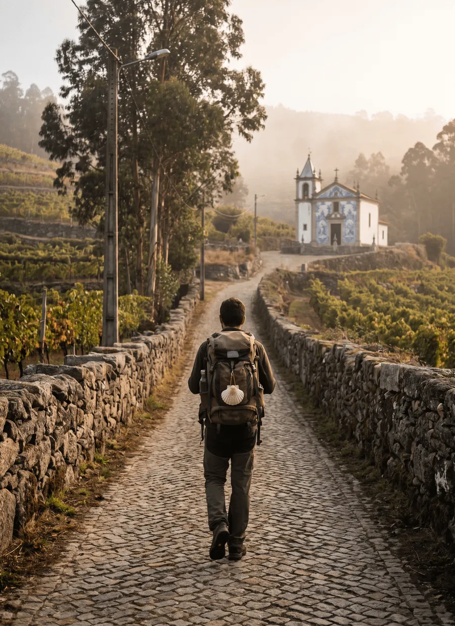
Northern Portugal and Galicia · Atlantic coast
Camino Português da Costa
Porto to Santiago beside the Atlantic, with one river to cross by boat
At a glance
- Distance
- 270 km
- Duration
- 12–15 days
- Highest point
- 328 m
- Difficulty
- Moderate
- Countries
- Portugal · Spain
- Best season
- April to October
- Luggage transfer
- Widely available
- Accommodation
- Albergues, Guesthouses & B&Bs, Hotels
- Permits & bookings
- Not required
City days
City days at each end: Porto and Santiago de Compostela
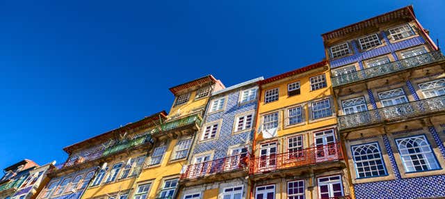
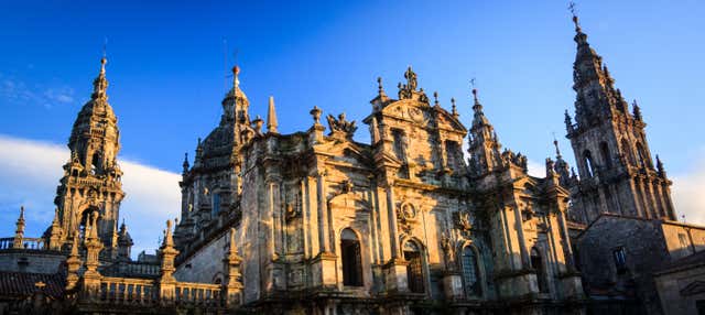
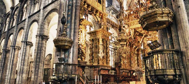
The coastal Way sets out from the Cais da Ribeira in Porto and ends at the cathedral in Santiago. Free tours and guided visits for the day before the first stage or the day after the last one. They are city visits, not a Camino package: the walk itself is not included.
The route
The Camino Português da Costa, the Portuguese Coastal Way, leaves Porto from the Cais da Ribeira and reaches Santiago de Compostela after 270 km on foot. The Portuguese half is 107.4 km, from Porto to Caminha through Matosinhos, Vila do Conde, Póvoa de Varzim, Esposende and Viana do Castelo. The Galician half is 162.6 km, from A Guarda through Oia, Baiona and Vigo to Redondela, and on through Pontevedra, Caldas de Reis and Padrón.
Between the two halves lies the mouth of the river Minho, and the nearest bridge is about 10 km upriver, at Vila Nova de Cerveira. Walkers cross from Caminha to the pier of A Pasaxe, in A Guarda, on a small passenger boat; the car ferry has not run since October 2021. The crossing is not part of the 270 km. Anyone who would rather stay on foot can follow the Portuguese bank upriver instead, 30.5 km in two stages to Valença, and walk over the bridge to Tui, where the central Camino Português takes over.
The ground is gentle but the days are long. None of the seven stages to Caminha goes above 140 m, and all of them are on asphalt. Four are graded medium, the three longest among them at 20 to 29 km, and the other three easy; the Galician half is graded medium-low. The one real climb comes late: the stage from Vigo to Redondela rises from 19 m to 328 m at Trasmañó before dropping to 11 m, and that is the highest point of the whole route.
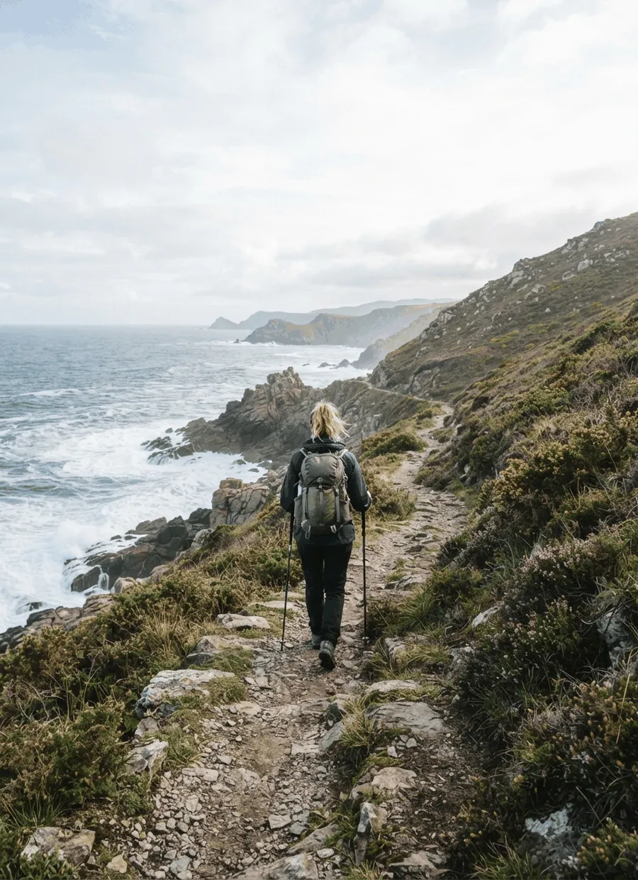
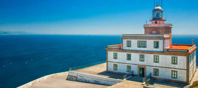
The stretch that gives the route its name is the Galician shore between A Guarda and Baiona. From A Guarda to Oia the path follows the waterline with the ocean open on the left, practically flat and almost without shade. From Oia it runs below the cliffs, passes the lighthouse of Cabo Silleiro and reaches the fortress of Monterreal in Baiona. Beyond Baiona the route turns into the Ría de Vigo and becomes urban: the C-550 road is a constant presence on the way into Vigo, the largest city in Galicia.
At Redondela the coastal route meets the central Camino Português and the two share the last 84.4 km. The Compostela requires at least 100 continuous kilometres on one recognised route, ending at the cathedral. Vigo stands 100.1 km from Santiago and Baiona 127.2 km, so a short version from Baiona leaves a margin that a start in Vigo does not.
There are fifteen official stages, but the first three in Portugal are short sections of 5.9 to 7.3 km, and the Portuguese split is a suggestion in which stages can be grouped. Walked as one day they give thirteen days in all; taking Porto to Póvoa de Varzim, 33 km, in a single day gives twelve.
Sample stages
A representative breakdown, not a prescription — most walkers adjust daily distances to their pace, rest days and the weather.
- Day 1 Viana do Castelo → Caminha 29.3 km
- Day 2 A Guarda → Oia 16.7 km
- Day 3 Oia → Baiona 18.7 km
- Day 4 Baiona → Vigo 27.1 km
- Day 5 Padrón → Santiago de Compostela 24.9 km
- Sample total 116.7 km
Practical notes
The things that change how a walk actually goes.
The passenger boat between Caminha and A Pasaxe carries up to twelve people and sails every day that the weather allows, but low tide blocks some departures. Book ahead and check the day’s sailings with the operator. Spain is one hour ahead of Portugal, so the clock jumps forward when you land.
Every stage from Porto to Caminha is on asphalt. The first three sections, 19.7 km through Porto, Matosinhos and Maia, are short municipal legs. In Vila do Conde the route runs relatively close to the beach and crosses the Mindelo bird reserve.
The 16.7 km from A Guarda to Oia are practically flat and almost without shade, with the sea breeze as the relief in summer. Drink at least two litres of water a day and do not trust springs or fountains whose water is not known to be drinkable.
Vigo to Redondela is only 15.7 km, but the path climbs from 19 m in Vigo to 328 m at Trasmañó. After Redondela no town or village on the way lies above 152 m until the final day, which rises to 247 m at O Milladoiro and ends at 253 m in Santiago.
The first public albergue of the coastal branch is in Vigo, with 93 beds, followed by Redondela (35), Pontevedra (86), Briallos (26), Valga (76), Pontecesures (53), Padrón (47) and Teo (21). Their doors open at 1 pm, a stay is one night, and walkers come before cyclists in the order of admission.
Getting there & back
Porto’s airport is on the metro: the Violeta line (line E) runs directly from the terminal to the city centre. The route starts at the Cais da Ribeira, the quay on the river Douro where pilgrims arriving by boat once landed.
Santiago de Compostela has its own airport, Lavacolla, one of three in Galicia together with A Coruña and Vigo. Vigo’s airport, Peinador, also serves anyone walking a short version, since the city lies on the route. Renfe trains link the Galician cities with each other and with the rest of Spain.
Luggage transfer on this route
Bag transfer is available along the whole route in season. Correos, the Spanish postal service, runs its Paq Mochila on the coastal route from Easter to 31 October, from A Guarda and also from Porto, every day including Sundays and public holidays. Bags are limited to 15 kg, must be at reception by 8 am and are delivered to the next address before 2.30 pm. From 1 November the service only covers the central route from Tui.
Luggage transfer on long-distance trailsBefore you use public Wi-Fi on the way
Wi-Fi in hostels, cafés and stations is a network shared with other people. A VPN encrypts the connection between your device and the VPN server, one extra layer when you check email or log in to accounts on the move. NordVPN is one option.
See NordVPNOfficial sources & maps
Go straight to the primary sources. We link out rather than re-publish, because these are the pages that stay current.
External links open in a new tab. We don’t control their content.
Frequently asked
How long is the Camino Português da Costa?
270 km on foot from Porto to Santiago: 107.4 km from Porto to Caminha and 162.6 km from A Guarda to Santiago. The boat across the Minho between Caminha and A Guarda is not counted.
How many days does it take?
Twelve to fifteen. There are fifteen stages, seven in Portugal and eight in Galicia. The first three Portuguese ones are under 8 km each, so it makes sense to group them: thirteen days if they become one, twelve if the whole 33 km from Porto to Póvoa de Varzim is walked in a day.
How do you cross from Caminha to A Guarda?
On a small passenger boat between Caminha and the pier of A Pasaxe, in A Guarda. The car ferry has not operated since October 2021. The boat runs daily when the weather allows and some sailings are blocked at low tide, so book ahead and confirm the time with the operator. The nearest bridge is about 10 km upriver, at Vila Nova de Cerveira.
Can I get the Compostela on the coastal route?
Yes. You need at least 100 continuous kilometres along one recognised route, with a stamped credencial, finishing at the cathedral. A Guarda is 162.6 km from Santiago and Baiona 127.2 km. Vigo is 100.1 km, which leaves no margin at all.
Where does the coastal route join the central one?
At Redondela, 84.4 km from Santiago. From there both routes follow the same four stages: Redondela to Pontevedra (18 km), Pontevedra to Caldas de Reis (22.8 km), Caldas de Reis to Padrón (18.7 km) and Padrón to Santiago (24.9 km).
Is it a hard route?
Moderate, and more for the distances than for the hills. In Portugal four of the seven stages are graded medium and three easy; the Galician half is graded medium-low. No stage in Portugal goes above 140 m. The one sustained climb is between Vigo and Redondela, where the path reaches 328 m at Trasmañó, and the longest stages are Viana do Castelo to Caminha (29.3 km) and Baiona to Vigo (27.1 km).
Pick a trail.
No sign-up, no sales call. Just the data, the sources and the links you need to plan a long walk properly.