Veneto · Treviso pre-Alps
Cammino delle Colline del Prosecco
Four stages along the ridges of the UNESCO Prosecco hills, from Vidor to Vittorio Veneto
At a glance
- Distance
- 51 km
- Duration
- 4 days
- Elevation gain
- 2,265 m
- Highest point
- 597 m
- Difficulty
- Moderate
- Countries
- Italy
- Permits & bookings
- Not required
The route
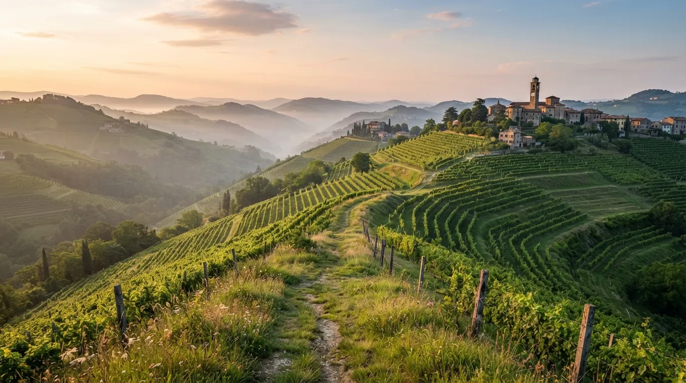
The Cammino delle Colline del Prosecco runs 51 km from Vidor to Vittorio Veneto, in the Treviso pre-Alps, with 2,265 m of total ascent. It follows the crest line of the core zone of the Colline del Prosecco di Conegliano e Valdobbiadene, a UNESCO World Heritage landscape since 2019, and it is meant to be walked in four stages and about 19 hours on foot.
Stage 1 goes from Vidor town hall to Col San Martino: 11.7 km, 567 m of climbing, about 4 h 30. It passes the Colle del Castello with its ossuary, the Sentiero dei Cipressi, Col Carpenon, Mont de la Polenta, Col Maor (368 m) and Col Mongarda (421 m), then the cross of the Costa Grande and Col Moliana, where First World War trenches can be seen, before dropping through vineyards to Col San Martino, where the night is spent.
Stage 2 is the longest: 15.4 km, 655 m of climbing, about 5 h 30, from Col San Martino to the abbey of Follina. It follows the Sentiero delle Vedette past the church of San Vigilio, Monte Moncader (470 m), Monte Pertegar (485 m) and Collagù, goes down through the Bosco Impero to the Soligo stream and then by Premaor and the Tre Ponti to Follina.
Stage 3 runs from the abbey of Follina to Piazza IV Novembre in Tarzo: 14.3 km, 460 m of climbing, about 4 h 30. It follows the cycle path south of the Austro-Hungarian ossuary, climbs by Santa Eurosia and Zuel to Arfanta, with its old church, and finishes by the Rive di San Pietro.
Stage 4 is the one with a choice. Stage 4A, 9.6 km and 583 m of climbing in about 4 h 30, goes from Tarzo over the crest of Monte Comun (490 m) and down to Nogarolo, then up Monte Baldo (597 m, the highest hill of the walk) and past the ruins of the 14th-century castle of Montesel to Serravalle, in Piazza Flaminio, and on to the town hall of Vittorio Veneto. Stage 4B, the Variante Nord, is shorter and easier: 9.1 km and 312 m of climbing in about 3 h 30, by Fratta, Colmaggiore and the Via dell’Acqua to Serravalle, where it rejoins the main route.
The route has vertical signs and horizontal yellow and red paint. The advice is to download the GPS track before leaving, in case of doubt.
Sample stages
A representative breakdown, not a prescription — most walkers adjust daily distances to their pace, rest days and the weather.
- Day 1 Vidor → Col San Martino 11.7 km
- Day 2 Col San Martino → Follina 15.4 km
- Day 3 Follina → Tarzo 14.3 km
- Day 4 Tarzo → Vittorio Veneto 9.6 km
- Sample total 51 km
Practical notes
The things that change how a walk actually goes.
The route is set up to be walked in one direction, from west to east, also for safety. Bicycles, motor vehicles and animals are not allowed, except on short stretches shared with a signed cycle path.
The technical difficulty is medium-low, but it is hill walking with a lot of climbing: 2,265 m over 51 km. Stage 4A is for people with good fitness, a sure step and no fear of heights, with equipment for experienced hiking. Anyone less prepared is asked to take the 4B variant.
Vertical signs and yellow and red paint mark the way. A full GPS track is offered for download, and a credential file can be requested on the official page by filling in a short form.
The rules ask for good health and footwear that grips on rough, steep and wet ground, and recommend carrying water and food. Watch for farm work and farm vehicles when crossing fields, for roads, and for the stretches shared with cyclists.
The numbers given for the route are 112 (Carabinieri), 113 (Polizia di Stato), 115 (fire brigade) and 118 (medical emergency).
Getting there & back
The walk starts at the town hall of Vidor and ends at the town hall of Vittorio Veneto, 51 km apart on foot, and it is walked from west to east.
We have no timetable data for getting to Vidor or back from Vittorio Veneto, so check the operators before you go. The stage descriptions end each of the first three days with a night in the village: Col San Martino, Follina and Tarzo.
Luggage transfer on this route
We found no bag-transfer service published for this route, so none is listed here. Pack for four days on foot.
Luggage transfer on long-distance trailsBefore you use public Wi-Fi on the way
Wi-Fi in hostels, cafés and stations is a network shared with other people. A VPN encrypts the connection between your device and the VPN server, one extra layer when you check email or log in to accounts on the move. NordVPN is one option.
See NordVPNOfficial sources & maps
Go straight to the primary sources. We link out rather than re-publish, because these are the pages that stay current.
External links open in a new tab. We don’t control their content.
Frequently asked
How long is the Cammino delle Colline del Prosecco?
It is 51 km from Vidor to Vittorio Veneto, with 2,265 m of total ascent and about 19 hours of walking, divided into four stages.
What are the four stages?
Stage 1 is Vidor to Col San Martino (11.7 km), stage 2 is Col San Martino to Follina (15.4 km), stage 3 is Follina to Tarzo (14.3 km) and stage 4 is Tarzo to Vittorio Veneto (9.6 km on the 4A route, 9.1 km to Serravalle on the 4B variant).
Which way do I walk it?
From west to east, from Vidor to Vittorio Veneto. The route is set up to be walked in one direction, also for safety.
Is stage 4 difficult, and is there an easier option?
Stage 4A is for people with good fitness, a sure step and no fear of heights. The 4B variant, the Variante Nord, is shorter (9.1 km, 312 m of climbing) and easier, and rejoins the main route at Serravalle.
Is the route waymarked, and is there a GPS track?
Yes to both: vertical signs and yellow and red paint mark the way, and a full GPS track can be downloaded from the official page. It is advised to have it with you in case of doubt.
Pick a trail.
No sign-up, no sales call. Just the data, the sources and the links you need to plan a long walk properly.