Stages & pacing
Camino Inglés stages and daily distances
Five official stages cover the 112.5 km from Ferrol to Santiago, and the third, 34.7 km to Bruma, decides how you plan the rest.
From Ferrol the Camino Inglés is divided into five stages, ending in Neda, Miño, Bruma, Sigüeiro and Santiago de Compostela, for a total of 112.5 km.
All the stages
| Stage | From | To | Distance |
|---|---|---|---|
| 1 | Ferrol | Neda | 15.4 km |
| 2 | Neda | Miño | 22.1 km |
| 3 | Miño | Bruma | 34.7 km |
| 4 | Bruma | Sigüeiro | 24.2 km |
| 5 | Sigüeiro | Santiago de Compostela | 16.1 km |
| Total | 112.5 km | ||
They are very uneven. The first, 15.4 km beside the ría to Neda, is graded low and timed at three hours. The second, 22.1 km, passes Fene, Cabanas and Pontedeume before Miño. The third is 34.7 km, graded high and timed at 8 h 20: it leaves the coast at Miño, reaches Betanzos after 10.7 km and climbs to Bruma, at 477 m.
The long stage has a natural place to cut it. Miño to Betanzos is 10.7 km, and Betanzos to Bruma, by way of Leiro, about 24 km. Betanzos has a public albergue with 37 beds; the one in Bruma has 19. Stopping in Betanzos turns one very long day into a short one and one of about 24 km that carries nearly all the climbing.
From Bruma the route goes down. Bruma to Sigüeiro is 24.2 km, with the public albergue of Poulo, 44 beds, in its first half and A Calle at 11.7 km; the stage ends at 155 m on the river Tambre. The last 16.1 km to Santiago are graded low. From A Coruña the first stage to Bruma is 32.8 km, with a public albergue at Sergude, 20 km in, and from Bruma the two itineraries are one.
City days
After the last stage: Santiago de Compostela
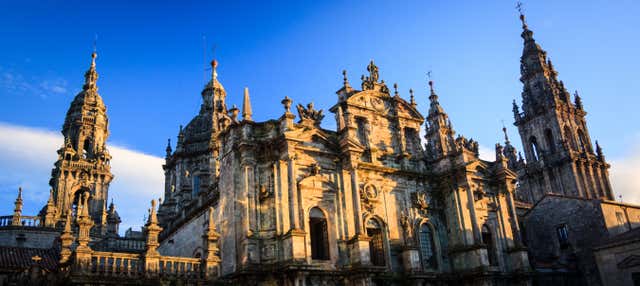
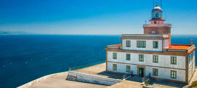
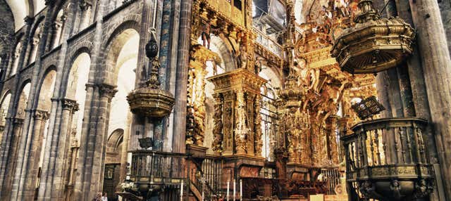
The English Way reaches the cathedral by its north front, on Rúa da Acibechería. A free walking tour, the guided visit of the cathedral and a day trip to Finisterre for the day after you arrive. They are city visits and an excursion, not a Camino package: the walk itself is not included.
Three ways to pace it
Averages worked out from the route’s real distance, so you can see what each pace actually asks of you day to day.
- Per day
- 28.1 km
Four days means walking Ferrol to Miño in one go, 37.5 km, and Miño to Bruma, 34.7 km, the next day. Two days of that length back to back are a plan for trained walkers only.
- Per day
- 22.5 km
Five days is the official split. Four of the days are between 15 and 24 km; the price is the third, 34.7 km and 8 h 20 to Bruma.
- Per day
- 18.8 km
Six days comes from sleeping in Betanzos: Miño to Betanzos is 10.7 km and Betanzos to Bruma about 24 km. No day is then longer than 24.2 km.
These are suggested splits, not an official stage list. Real days are set by where the beds are — always check the accommodation before fixing an itinerary.
The days people underestimate
Miño to Bruma, without competition: 34.7 km, the only stage graded high, ending at the highest point of the route in a place whose public albergue has 19 beds. The stage after it, 24.2 km to Sigüeiro, is graded low but comes on tired legs and, in winter, over waterlogged ground near O Carballo.
If you have less time
There is no shorter start from Ferrol that keeps the Compostela: Neda is already 97.1 km from Santiago. The short option is the A Coruña itinerary, 73 km in three stages of 32.8, 24.2 and 16.1 km, which gives the Compostela only to walkers who began their pilgrimage on foot outside Spain, on a recognised route.
Frequently asked
What are the official stages of the Camino Inglés?
Ferrol to Neda (15.4 km), Neda to Miño (22.1 km), Miño to Bruma (34.7 km), Bruma to Sigüeiro (24.2 km) and Sigüeiro to Santiago de Compostela (16.1 km): 112.5 km in all.
Where can I split the stage from Miño to Bruma?
At Betanzos, 10.7 km from Miño, where there is a public albergue with 37 beds. The remaining 24 km or so to Bruma pass Leiro, 13.5 km after Betanzos.
How long is the route from A Coruña?
73 km: 32.8 km to Bruma, then the same 24.2 km to Sigüeiro and 16.1 km to Santiago as the Ferrol route. The first stage starts at 57 m in A Coruña, drops to 3 m at O Burgo and reaches 477 m at Bruma.
How high does the Camino Inglés go?
477 m at Bruma, the highest point on the route. Ferrol, Neda, Fene, Pontedeume, Miño and Betanzos all lie at 32 m or less, Sigüeiro at 155 m and Santiago at 253 m.
Apply it to a real route
Each trail guide gives you the stages, the season and the permits to plug into this method.