
Stages & pacing
Laugavegur stages and daily distances
Four days is the standard Laugavegur, an average of under 14 km a day across 55 km between huts.
The huts are the itinerary. Landmannalaugar, Hrafntinnusker, Álftavatn, Emstrur and Þórsmörk are the fixed points, spaced 12, 12, 15 and 16 km apart, and apart from Hvanngil, an hour beyond Álftavatn, there is nothing in between. Beds are booked through the Iceland Touring Association and popular dates go the previous autumn; camping is permitted only at the hut sites. Water runs everywhere and is drinkable. What you are actually planning around is weather, because between huts there is no shelter of any kind.
Fifteen hundred metres of ascent over 55 km sounds gentle, and the first day disproves it. Landmannalaugar to Hrafntinnusker is 12 km and climbs steadily to around 1,050 m, the highest ground on the route, across rhyolite slopes that hold snow into July and fog over without warning. It is the shortest sort of day on paper and regularly the coldest and slowest in practice. After that the route trends downhill to Þórsmörk, but the unbridged fords, not the gradient, set the pace.
Each stage has its own character. Landmannalaugar to Hrafntinnusker is high, coloured and often snow-covered. Hrafntinnusker to Álftavatn drops sharply to the lake and includes the first serious crossing. Álftavatn to Emstrur at 15 km takes in the black sand plain beyond Hvanngil, the bleakest and most exposed part of the walk, with a wind that has nothing to break it. Emstrur to Þórsmörk at 16 km descends into canyon country and ends among the first birch trees in four days.
The first mistake is assuming a 55 km route is a long weekend with margin in it. There is none: miss a hut booking and there is no second option. The second is underestimating the opening day, which is the highest and the coldest. The third is treating the fords casually. The crossing before Álftavatn and the Þröngá near the finish both run higher through the afternoon as meltwater arrives, so early starts are a safety decision rather than a preference.
Before or after the walk
Tours and visits in Reykjavík
A few well-rated options near Laugavegur, for the rest days either side of the trail. Prices are the provider’s current starting price.
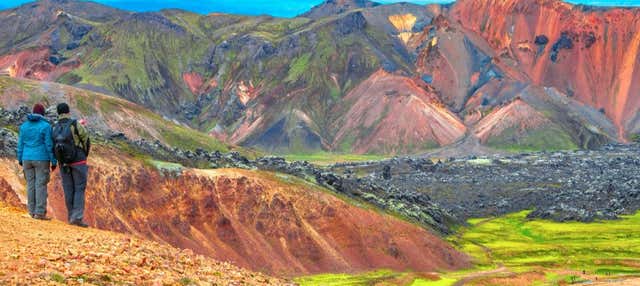 Landmannalaugar Small-Group Day Tripfrom €162See details ↗
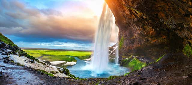 The South Coast of Iceland Day Tripfrom €129.49See details ↗
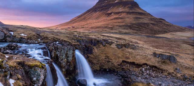 Snaefellsnes Day Tripfrom €126.54See details ↗
Affiliate links: if you book through them we may earn a commission, at no extra cost to you. It never changes our stage, distance or luggage information. (Civitatis) How the project is funded
Three ways to pace it
Averages worked out from the route’s real distance and ascent, so you can see what each pace actually asks of you day to day.
- Per day
- 18.3 km
- Ascent per day
- 500 m
Three days means walking two stages in one, most often Landmannalaugar through to Álftavatn. It suits fit walkers with a settled forecast, and it costs you the option of sitting out a storm, which in Iceland is a real cost.
- Per day
- 13.8 km
- Ascent per day
- 380 m
Four days, hut to hut, is what the route is built for: under 14 km a day, finishing early enough to dry out and eat properly. Nearly everybody walks it this way, and nearly everybody is right to.
- Per day
- 11 km
- Ascent per day
- 300 m
Five days adds a night at Hvanngil, or a second at Þórsmörk, or the extra day over to Skógar. It suits photographers, families and anyone who wants a buffer against a bad forecast rather than a shorter day.
These are suggested splits, not an official stage list. Real days are set by where the beds are — always check the accommodation before fixing an itinerary.
Representative stages
- Day 1 Landmannalaugar → Hrafntinnusker 12 km
- Day 2 Hrafntinnusker → Álftavatn 12 km
- Day 3 Álftavatn → Emstrur 15 km
- Day 4 Emstrur → Þórsmörk 16 km
- Sample total 55 km
The days people underestimate
Landmannalaugar to Hrafntinnusker is the one people misjudge: 12 km, the highest ground on the route, snowfields into July and fog that arrives without warning. Álftavatn to Emstrur is the most exposed, crossing black sand with no shelter for hours. The fords are the other underestimated element, cold enough to hurt and appreciably deeper by afternoon.
If you have less time
The Laugavegur does not divide well, and there is no honest short version. Access at either end is by mountain bus on a fixed seasonal timetable, the huts must be booked as a chain, and there is no road, village or exit point in between. With fewer than three days, walk the day trails around Landmannalaugar or Þórsmörk instead.
Frequently asked
How many days do you need to walk the Laugavegur?
Four days is standard: 12 km to Hrafntinnusker, 12 to Álftavatn, 15 to Emstrur and 16 to Þórsmörk. Three is possible by merging the first two, and five if you want a buffer or continue to Skógar. Weather, not fitness, usually decides whether the plan survives contact with the route.
Can the Laugavegur be walked in sections?
Not realistically. There is no road access between Landmannalaugar and Þórsmörk, the huts form a single chain of bookings, and the mountain buses serve only the two ends. It is a committing four-day route or nothing, which is part of why permits and reservations matter so much here.
How bad are the river crossings?
Several are unbridged and knee to thigh deep in normal conditions, including the ford before Álftavatn and the Þröngá near Þórsmörk. They rise through the day as meltwater comes down, so morning is safer. Crossing shoes, poles and an unbuckled hip belt are the standard precautions.
Do I need to book huts in advance?
Yes, and early. Hut beds along the route are reserved through the Iceland Touring Association and the popular dates go the previous autumn. Campsites at the huts are less pressured but still limited, and camping between them is not permitted. Reservations effectively fix your stages for you.
Apply it to a real route
Each trail guide gives you the stages, the season and the permits to plug into this method.