Southern Highlands, Iceland · Landmannalaugar to Þórsmörk
Laugavegur
Iceland’s classic hut-to-hut crossing, hot springs to birch woods
At a glance
- Distance
- 55 km
- Duration
- 3–5 days
- Elevation gain
- 1,500 m
- Highest point
- 1,050 m
- Difficulty
- Moderate
- Countries
- Iceland
- Best season
- July to September, the short window when the huts are staffed and the highland roads are open.
- Waymarking
- Good
- Water points
- Frequent
- Luggage transfer
- Not available
- Accommodation
- Mountain huts, Campsites
- Permits & bookings
- Required
Before or after the walk
Tours and visits in Reykjavík
A few well-rated options near Laugavegur, for the rest days either side of the trail. Prices are the provider’s current starting price.
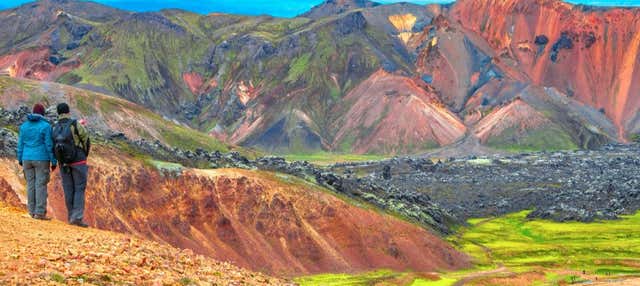 Landmannalaugar Small-Group Day Tripfrom €162See details ↗
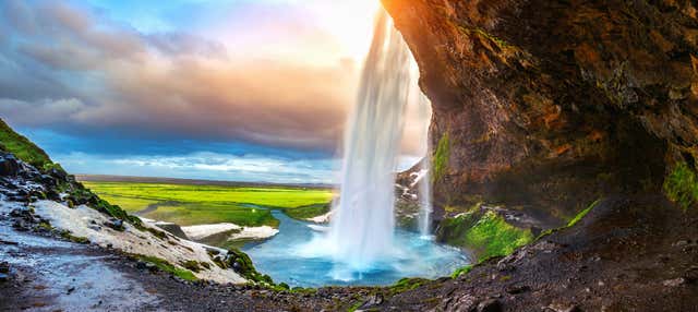 The South Coast of Iceland Day Tripfrom €129.49See details ↗
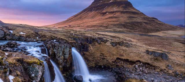 Snaefellsnes Day Tripfrom €126.54See details ↗
Affiliate links: if you book through them we may earn a commission, at no extra cost to you. It never changes our stage, distance or luggage information. (Civitatis) How the project is funded
The route
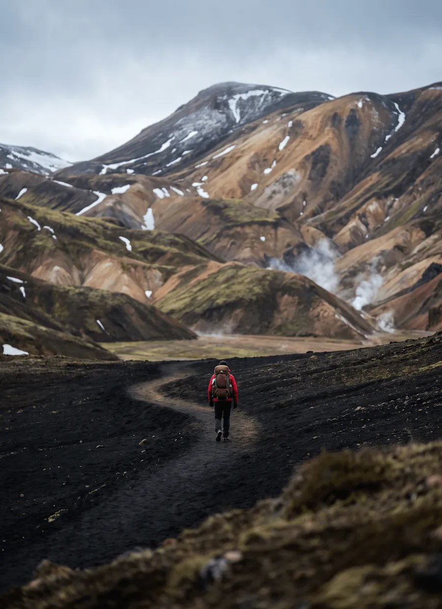
The Laugavegur runs 55 km through the southern Icelandic highlands, from the geothermal basin of Landmannalaugar to the birch woods of Þórsmörk under Eyjafjallajökull. It is the country’s best-known multi-day walk and it changes landscape almost hourly: rhyolite hills in ochre and green, an obsidian-strewn snowfield plateau, black desert around Emstrur, then glacial rivers and canyon before the sudden green of Þórsmörk. There are no villages, no roads to speak of and no mobile coverage for much of it. Everything between the two ends is huts, campsites and weather.
Distances are short and the total ascent is modest, about 1,500 m, with the highest point around 1,050 m near Hrafntinnusker. What makes the route serious is the surface and the exposure. You walk on volcanic scree, ash, snow patches that persist into August and gravel river flats, with almost no shelter and no tree line. Several rivers are crossed on foot, thigh-deep in places and coldest in the morning before meltwater peaks. The plateau above Hrafntinnusker is where people get into trouble, because whiteout and wind can arrive within an hour in any month.
Four days is the standard, following the huts: Landmannalaugar to Hrafntinnusker 12 km, Hrafntinnusker to Álftavatn 12 km, Álftavatn to Emstrur 15 km, and Emstrur to Þórsmörk 16 km. Fit walkers do it in three by combining the first two stages, and five allows a rest day or the extension over Fimmvörðuháls to Skógar. Because the huts are the only shelter, your itinerary is decided by which beds you got rather than by how far you want to walk. Most people go north to south, downhill on balance.
The walking season is July to September, and it is genuinely that narrow. The highland road to Landmannalaugar usually opens in late June or early July depending on snowmelt, the huts are staffed and buses run from around late June to early or mid September, and after that the route becomes a winter undertaking. Even in high summer, expect single-digit temperatures, sideways rain and snow above 1,000 m. The trail is busy by Icelandic standards, with hundreds of people a day in late July, but the huts cap numbers so the path itself rarely feels crowded.
Accommodation is four mountain huts run by Ferðafélag Íslands, each with bunks, a kitchen and a warden, plus a campsite alongside. Hut beds must be booked, and they are the reason this walk needs planning a long way ahead: reservations for the summer typically open in the previous autumn and popular nights, Hrafntinnusker especially, go within days. Camping cannot always be reserved, and wild camping is prohibited inside the reserve, so tent walkers still pay at the marked sites. Bring all your food; nothing is sold along the route.
The Laugavegur suits walkers who are comfortable being self-sufficient in bad weather on short days. It asks for no technical skill, but it does ask for warm and genuinely waterproof clothing, the willingness to wade cold rivers, and the judgement to sit out a day. It suits less well anyone hoping to walk it in sections, because there is no practical road access mid-route, or anyone counting on booking late. Families do walk it, and the plateau stage and the river crossings are the parts to think hardest about beforehand.
Sample stages
A representative breakdown, not a prescription — most walkers adjust daily distances to their pace, rest days and the weather.
- Day 1 Landmannalaugar → Hrafntinnusker 12 km
- Day 2 Hrafntinnusker → Álftavatn 12 km
- Day 3 Álftavatn → Emstrur 15 km
- Day 4 Emstrur → Þórsmörk 16 km
- Sample total 55 km
Practical notes
The things that change how a walk actually goes.
Several unbridged rivers must be waded, knee to thigh deep. Cross in the morning when meltwater is lowest, face upstream, unclip your hip belt, and wear sandals or old trainers. If a river looks too strong, wait; volume changes through the day.
There is no tree line and little natural shelter between huts. Storms build fast, and the Hrafntinnusker plateau holds snow and fog into August. Carry full waterproofs, warm layers, hat and gloves even in July, and check the Icelandic Met Office and SafeTravel daily.
Beds in the four Ferðafélag Íslands huts must be reserved and usually sell out months ahead, with booking often opening the previous autumn. Camping is permitted only at the marked hut campsites, for a fee; wild camping inside the nature reserve is not allowed.
Water is plentiful and the streams are drinkable, so you rarely carry more than a litre. Food is the opposite: nothing is sold on the route, so you carry every meal. The huts have gas rings and pans; campers need their own stove and fuel.
Highland buses run only in season and are the only way in or out. Missing the connection at Þórsmörk means an extra night, so book the return seat and keep a buffer day. Roads close after heavy rain or early snow.
Getting there & back
Almost everyone arrives through Keflavík Airport and spends a night in Reykjavík. From the BSÍ terminal in the city, highland buses run to Landmannalaugar in around four hours during the season, crossing unbridged fords that only modified vehicles can manage — this is not a drive for a rental car. Some services leave early enough to start walking the same afternoon, but arriving the day before and soaking in the Landmannalaugar hot pool is the more common plan.
From Þórsmörk, buses run to Reykjavík in roughly three and a half to four hours, stopping at Hvolsvöllur or Selfoss. The way out crosses the Krossá, so again it is a bus or a specialist vehicle rather than a car. If you continue over Fimmvörðuháls instead, you finish at Skógar on the ring road, where scheduled buses run east to Vík or west to Reykjavík. Book the return leg before you fly, because seats are limited in August.
Luggage transfer on this route
There is no bag transfer on the Laugavegur, and there cannot be. The huts sit on unbridged highland tracks with no daily road service, and supplies reach them by specialist vehicle. You carry four days of food, clothing and sleeping gear yourself. Leaving a suitcase in Reykjavík is standard practice, and the bus operators can sometimes carry a gear drop.
Luggage transfer on long-distance trailsOfficial sources & maps
Go straight to the primary sources. We link out rather than re-publish, because these are the pages that stay current.
External links open in a new tab. We don’t control their content.
Frequently asked
How many days does the Laugavegur take?
Four days is standard, following the hut spacing: 12 km, 12 km, 15 km and 16 km. Strong walkers combine the first two stages and finish in three. Five days gives a weather buffer, or lets you add the Fimmvörðuháls crossing to Skógar. Distances are short, but wind, scree and river crossings slow everyone down.
Do I need to book the huts in advance?
Yes, and early. The four huts are run by Ferðafélag Íslands, beds must be reserved, and booking for the summer often opens the previous autumn and fills within days for Hrafntinnusker and Álftavatn. If the huts are full, the campsites beside them are the alternative, still for a fee and with limited space.
How deep are the river crossings?
Usually knee to mid-thigh, and always cold. The Þröngá before Þórsmörk and the crossings after Álftavatn are the ones people remember. Water is lowest in the morning and rises through warm afternoons and after rain, so cross early, use sandals, unclip your pack and turn back if it looks too strong.
Which direction should I walk?
North to south, Landmannalaugar to Þórsmörk, is the usual choice. It loses more height than it gains, starts with the most colourful terrain and finishes in the shelter of the birch woods. South to north is done, mainly by people continuing from Skógar over Fimmvörðuháls, and it means climbing to the plateau on the last day.
Can I walk it in June or October?
Not reliably. The highland road and the huts usually open in late June or early July and close in early to mid September, and the buses run only in that window. Outside it you are on a winter route with snow cover, no staffed shelter and no transport, which calls for proper winter equipment and experience.
Is a guide or a tent necessary?
Neither is required. The path is marked with posts and cairns and the terrain is not technical, so most people walk it independently. A guide is worth considering if you are inexperienced with navigation in whiteout or with river crossings. A tent is only needed if the huts are full, and it must be a genuinely storm-worthy one.
Pick a trail.
No sign-up, no sales call. Just the data, the sources and the links you need to plan a long walk properly.