
Stages & pacing
Via Francigena stages and daily distances
Sixteen days is the usual figure from Lucca to Rome, an average close to 24 km a day over 380 km.
South of Lucca the Via Francigena is town-to-town walking, and the towns are Tuscan hill towns, which means the day often ends with a climb. Pilgrim hostels, agriturismi and small hotels are spread thinly compared with the Camino, so stages follow beds rather than distance: 18 km from Lucca to Altopascio, then 24 km from San Miniato to Gambassi Terme. Water is generally available in villages, but the clay hills south of Siena run dry and shadeless in summer, and that stretch alone dictates an early start.
Six thousand metres over 380 km is not alpine, and no single climb on the route is memorable. What wears people down is that almost none of it is flat. Gambassi Terme to San Gimignano is only 13 km and still rises and drops repeatedly before the final pull to the towers. The Tuscan pattern of ridge, valley, ridge repeats all day, so a 26 km stage such as Siena to Ponte d’Arbia takes noticeably longer than 26 km anywhere on the Camino Francés.
Four blocks, broadly. Lucca to San Miniato crosses the flat, warm country through Altopascio. San Miniato to Siena is the postcard section, past Gambassi Terme and San Gimignano and down the Val d’Elsa. Siena to Bolsena is the emptiest part: Ponte d’Arbia, the clay hills, then Radicofani and the Lazio border. From Viterbo the last days run through Sutri and the Cimini hills to Rome, where the final approach along the Via Cassia is more suburb than countryside.
The first mistake is starting in July. Tuscany in high summer turns a 24 km day into a dawn-to-noon race, and the shadeless hills south of Siena are where walkers give up. The second is assuming Camino-style waymarking; the Francigena is well signed in places and vague in others, so a downloaded track saves an hour a week. The third is planning a heroic final day into Rome rather than splitting the long suburban approach across two mornings.
Before or after the walk
Tours and visits in Rome
A few well-rated options near Via Francigena, for the rest days either side of the trail. Prices are the provider’s current starting price.
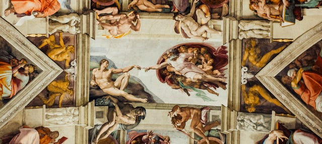 Vatican Museums & Sistine Chapel Guided Tourfrom €74.25See details ↗
 Colosseum, Roman Forum & Palatine Hill Tourfrom €49See details ↗
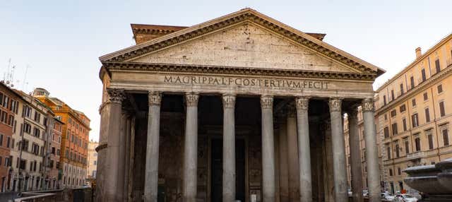 Pantheon Skip The Line Ticketfrom €11See details ↗
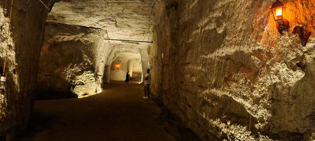 Rome Underground Tourfrom €80See details ↗
Affiliate links: if you book through them we may earn a commission, at no extra cost to you. It never changes our stage, distance or luggage information. (Civitatis) How the project is funded
Three ways to pace it
Averages worked out from the route’s real distance and ascent, so you can see what each pace actually asks of you day to day.
- Per day
- 25.3 km
- Ascent per day
- 400 m
Fifteen days at around 25 km suits walkers who have done a Camino and want the same rhythm in Italy. The cost is that San Gimignano and Siena become lunch stops, which on this particular route is a genuine loss.
- Per day
- 23.8 km
- Ascent per day
- 380 m
Sixteen days, close to 24 km a day, is what most Italian stage lists assume and what the hostels are spaced for. It leaves late afternoons for the towns, which is why people walk this route at all.
- Per day
- 19 km
- Ascent per day
- 300 m
Twenty days brings the average under 19 km and allows rest days in Siena and Viterbo. It suits summer walkers, who need the cool mornings, and anyone treating the walk as a Tuscan trip rather than a distance.
These are suggested splits, not an official stage list. Real days are set by where the beds are — always check the accommodation before fixing an itinerary.
Representative stages
- Day 1 Lucca → Altopascio 18 km
- Day 2 San Miniato → Gambassi Terme 24 km
- Day 3 Gambassi Terme → San Gimignano 13 km
- Day 4 Siena → Ponte d’Arbia 26 km
- Day 5 Viterbo → Sutri 25 km
- Sample total 106 km
The days people underestimate
Siena to Ponte d’Arbia at 26 km is the one people remember, for exposure rather than gradient: clay, stubble and no shade at all. The Radicofani climb further south is the steepest sustained ascent on the route. Least anticipated is the last day into Rome, long, hot and largely on pavement after a fortnight of soft ground.
If you have less time
The best week on the route is Lucca to Siena, roughly 150 km through Altopascio, San Miniato, Gambassi Terme and San Gimignano, ending in a city with fast trains. If arriving in Rome matters more than Tuscany, Viterbo to Rome takes five or six days and includes Sutri and the Cimini hills before the city.
Frequently asked
How long does the Via Francigena take from Lucca to Rome?
About 16 days at roughly 24 km a day over 380 km. Fifteen is brisk and twenty leaves room for rest days and hot afternoons. Walkers starting further north, in the Alps or Lombardy, are on a much longer trip; the Lucca start is the section most people mean by walking to Rome.
Does the Via Francigena have official stages?
The Italian route is published in numbered stages by the route association, and most guidebooks follow them, but they vary in length from under 15 km to over 30. Treat the numbering as a map of where the beds are rather than a schedule you are obliged to keep.
How hot does it get in summer?
Inland Tuscany and northern Lazio regularly pass 35°C in July and August, and the clay hills south of Siena have almost no shade. Walkers who go then start before six and finish by midday, which makes a 24 km stage manageable and a 30 km one genuinely unwise.
Do I need to book accommodation along the way?
More than on the Camino. Pilgrim hostels are fewer, some are parish-run with a handful of beds, and several villages have only one option. A day or two ahead is usually enough, but the last stages into Rome fill early and are worth arranging before you leave home.
Apply it to a real route
Each trail guide gives you the stages, the season and the permits to plug into this method.