Tuscany and Lazio · Lucca to Rome
Via Francigena
Sigeric’s road south: 380 km of Tuscany and Lazio to Rome
At a glance
- Distance
- 380 km
- Duration
- 15–20 days
- Elevation gain
- 6,000 m
- Highest point
- 810 m
- Difficulty
- Moderate
- Countries
- Italy
- Best season
- April to October
- Waymarking
- Good
- Water points
- Frequent
- Luggage transfer
- Widely available
- Accommodation
- Guesthouses & B&Bs, Hotels, Albergues
- Permits & bookings
- Not required
Before or after the walk
Tours and visits in Rome
A few well-rated options near Via Francigena, for the rest days either side of the trail. Prices are the provider’s current starting price.
 Vatican Museums & Sistine Chapel Guided Tourfrom €74.25See details ↗
 Colosseum, Roman Forum & Palatine Hill Tourfrom €49See details ↗
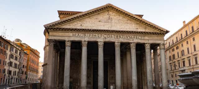 Pantheon Skip The Line Ticketfrom €11See details ↗
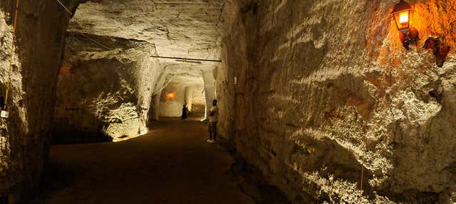 Rome Underground Tourfrom €80See details ↗
Affiliate links: if you book through them we may earn a commission, at no extra cost to you. It never changes our stage, distance or luggage information. (Civitatis) How the project is funded
The route
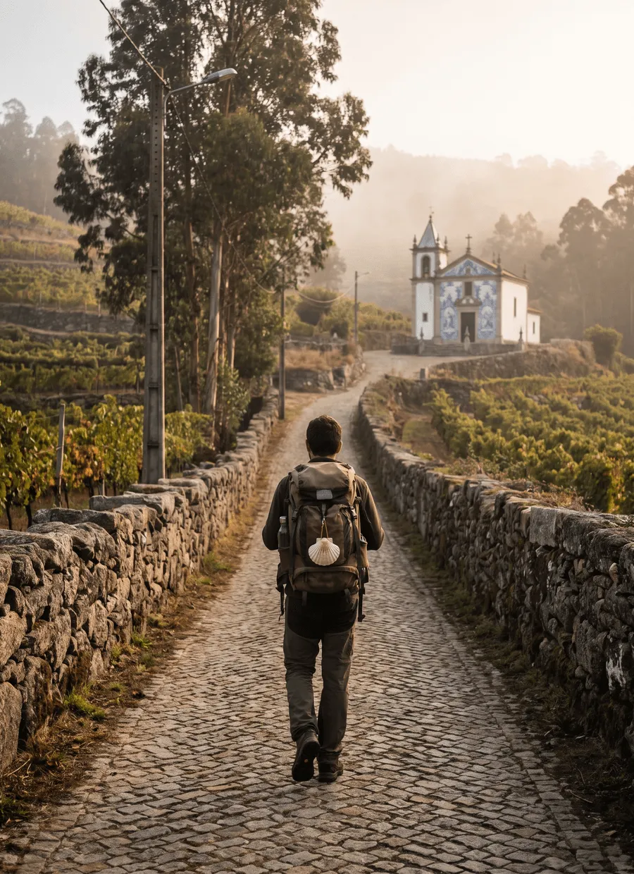
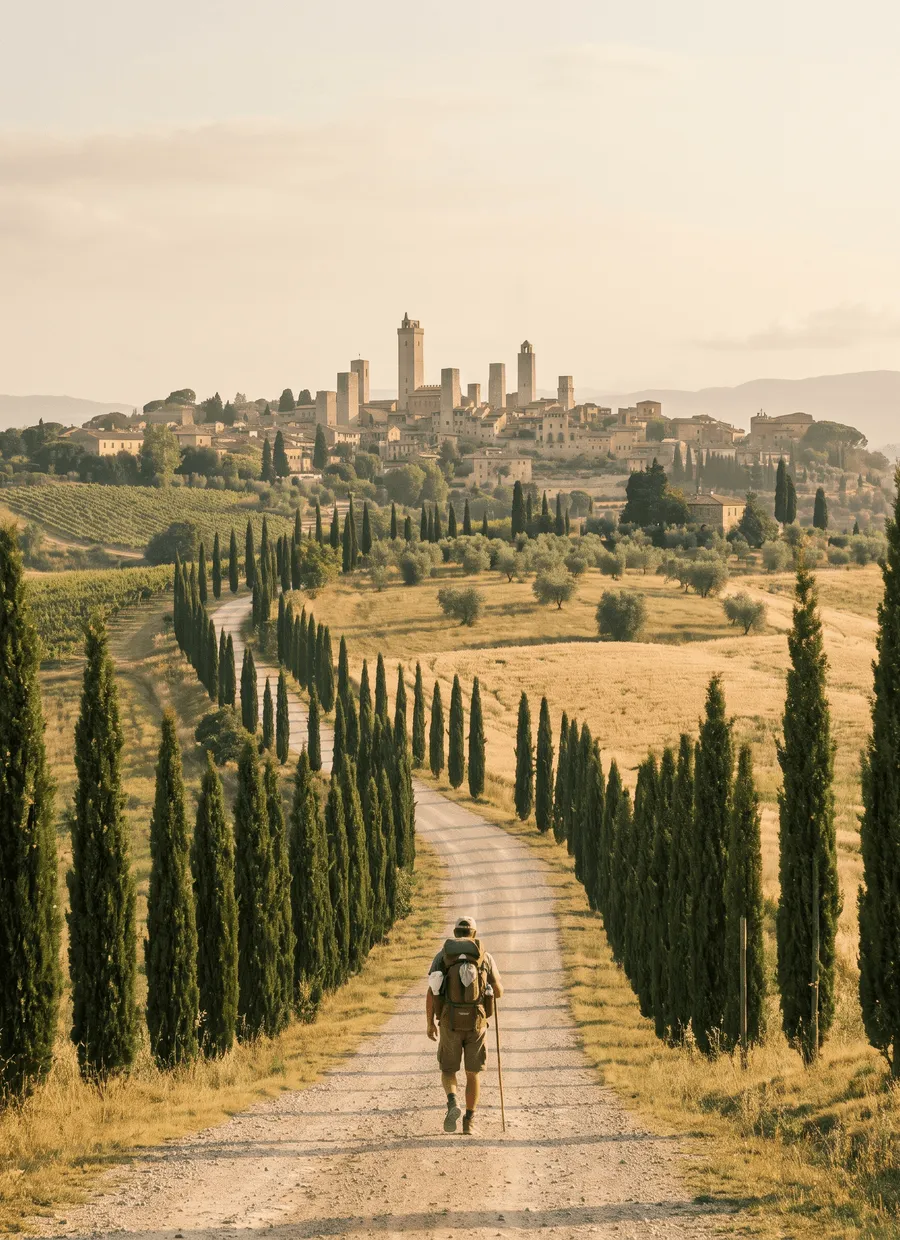
The Via Francigena is the medieval road from Canterbury to Rome, recorded stage by stage in 990 by Sigeric, Archbishop of Canterbury, on his return from the papal court. The Italian section from Lucca to Rome is by far the most walked part: 380 km through Tuscany and northern Lazio, past San Miniato, San Gimignano, Siena, the Val d’Orcia, Radicofani, Lake Bolsena, Viterbo and Sutri, ending at St Peter’s Square. It is a recognised Council of Europe cultural route, and arriving pilgrims can request a testimonium in Rome.
The walking is rolling rather than mountainous: about 6,000 m of ascent across 380 km, with the high point at Radicofani, roughly 810 m up on its volcanic cone. Much of the route follows strade bianche, the white gravel farm roads of Tuscany, along with field paths, short stretches of tarmac and old paved lanes. The clay soils of the crete senesi south of Siena turn slick and heavy after rain, and long sections cross open cultivated country with almost no shade.
Sixteen days is the standard length, an average of about 24 km, and twenty days gives a gentler rhythm with time in Siena and Viterbo. Familiar stages include Lucca to Altopascio at 18 km, San Miniato to Gambassi Terme at 24 km, the short 13 km into San Gimignano, Siena to Ponte d’Arbia at 26 km and Viterbo to Sutri at 25 km. Waymarking is good rather than flawless: expect clear Francigena signs and red-and-white paint for most of the way, with gaps and diversions in Lazio.
The season runs April to October. May, June, September and early October are the best of it. July and August regularly pass 35°C in the Val d’Orcia and northern Lazio, on a route with little shade and villages spaced further apart than on the Camino. Numbers are a fraction of the Spanish routes, so you can walk half a day without meeting another pilgrim, though Jubilee years lift traffic on the final Lazio stages considerably.
Accommodation is a patchwork of parish hostels, convents, municipal ostelli, agriturismi, B&Bs and small hotels. Pilgrim beds exist but are spread thinly, and some are open only to walkers carrying a credenziale. Because the network is thinner than in Spain, booking one or two days ahead is the normal practice, sometimes by telephone rather than online, and Italian helps. Several stages end at an agriturismo outside the village, which affects both dinner plans and bag delivery addresses.
The route suits walkers who have already done a Camino and want quieter days, anyone drawn to Etruscan, Roman and medieval history, and people willing to solve small logistical problems themselves. It suits less well those who want constant company on the path, a guaranteed bed without planning, or English spoken everywhere. Navigation demands slightly more attention than the well-oiled routes to Santiago, and a little Italian, or a translation app and the willingness to telephone a hostel at lunchtime, removes most of the remaining friction.
Sample stages
A representative breakdown, not a prescription — most walkers adjust daily distances to their pace, rest days and the weather.
- Day 1 Lucca → Altopascio 18 km
- Day 2 San Miniato → Gambassi Terme 24 km
- Day 3 Gambassi Terme → San Gimignano 13 km
- Day 4 Siena → Ponte d’Arbia 26 km
- Day 5 Viterbo → Sutri 25 km
- Sample total 106 km
Practical notes
The things that change how a walk actually goes.
Strade bianche are comfortable when dry and dusty in summer heat. The clay sections south of Siena become heavy and slippery after rain, adding an hour to a stage, so a wet forecast in the Val d’Orcia is worth planning around.
Village fountains, bars and cemetery taps mean refills most hours, but long stretches cross open farmland without a tree. Two litres, an early start and a hat matter more here than on shadier routes, particularly between Siena and Bolsena.
Waymarking is good in Tuscany and patchier in Lazio, where roadworks and land use cause diversions. A GPX track on a phone with offline maps resolves nearly every doubt, and the official route association publishes updated variants each season.
No permit is needed, but a pilgrim credenziale unlocks hostel and parish accommodation and records the stamps for the testimonium in Rome. Beds are thinly spread, so ring ahead a day or two, especially at weekends and in Jubilee years.
Beyond La Storta the route turns urban, with busy roads on the Via Trionfale approach. Some walkers push through to Monte Mario for the first view of St Peter’s; others take the suburban train for part of it and walk the final stretch.
Getting there & back
Lucca is straightforward to reach. Pisa airport connects by rail to Pisa Centrale and then to Lucca in about half an hour in total, and Florence is roughly an hour and twenty minutes away by train. Lucca station sits just outside the city walls, ten minutes on foot from the cathedral of San Martino, where many walkers collect their first stamp. Arriving a day early is worth it: the walled town rewards an afternoon.
Rome ends the walk at St Peter’s Square, in the middle of a very well connected city. Fiumicino and Ciampino airports are reachable by train and bus, and Roma Termini has high-speed services to Florence, Milan and Naples. The pilgrim office near the Vatican issues the testimonium. If you finish earlier, Viterbo, Siena and Lake Bolsena all have coach links to Rome that take two to three hours.
Luggage transfer on this route
Bag transfer is widely available between Lucca and Rome, with operators running daily services along the Italian section. Bags are collected from your accommodation and delivered to the next, usually under a 20 kg limit. Coverage is thinner than on the Camino, and because many stages end at an agriturismo outside the village, confirm the exact address and a phone number when you book each night.
Luggage transfer on long-distance trailsOfficial sources & maps
Go straight to the primary sources. We link out rather than re-publish, because these are the pages that stay current.
External links open in a new tab. We don’t control their content.
Frequently asked
How many days does it take to walk from Lucca to Rome?
About 16 days at an average of 24 km, with 15 possible for strong walkers and 20 giving a relaxed pace and rest days in Siena and Viterbo. The full Italian Via Francigena from the Great St Bernard Pass takes around six weeks; Lucca to Rome is the section most people choose.
Is the Via Francigena quieter than the Camino de Santiago?
Considerably. Walker numbers are a small fraction of the Camino Francés, and outside Jubilee years you may spend hours alone on the path. That means more solitude and better spontaneity in villages, but also fewer pilgrim hostels, less English spoken and more of the planning left to you.
Do I need a pilgrim credential?
It is not a permit, but a credenziale is needed for parish and hostel accommodation, gets you pilgrim rates, and records the stamps that support a testimonium in Rome. The Francigena associations and many churches along the route issue them, and stamps come from parishes, hostels, town halls and bars.
When is the best time to walk it?
April to October, with May, June, September and early October the most comfortable. July and August are hot and shadeless on the Tuscan and Lazio stages, where 35°C is common. Late autumn and winter walking is possible in the lowlands but many pilgrim hostels close and the clay paths become heavy.
Is the route well waymarked?
Good, not perfect. Tuscany is signed clearly with the Francigena pilgrim symbol and red-and-white markings. Lazio has more gaps, urban sections and seasonal diversions. Carrying the official GPX track with offline maps is standard practice, and the route association publishes changes before each season.
How do I walk into Rome without spending a day on main roads?
The recognised route enters through La Storta and Monte Mario, which gives the classic first sight of St Peter’s dome but also a long stretch of traffic on the Via Trionfale. Many walkers use the suburban rail line for part of that approach and walk the final section through the park and down to the Vatican.
Pick a trail.
No sign-up, no sales call. Just the data, the sources and the links you need to plan a long walk properly.