Chilean Patagonia · Torres del Paine National Park
Torres del Paine — W Trek
Five days between granite towers, glaciers and Patagonian wind
At a glance
- Distance
- 80 km
- Duration
- 4–5 days
- Elevation gain
- 3,000 m
- Highest point
- 900 m
- Difficulty
- Challenging
- Countries
- Chile
- Best season
- November to March, the southern-hemisphere summer, with December to February the most settled.
- Waymarking
- Good
- Water points
- Frequent
- Luggage transfer
- Not available
- Accommodation
- Refuges, Campsites
- Permits & bookings
- Required
Before or after the walk
Tours and visits in Puerto Natales · Torres del Paine
A few well-rated options near Torres del Paine — W Trek, for the rest days either side of the trail. Prices are the provider’s current starting price.
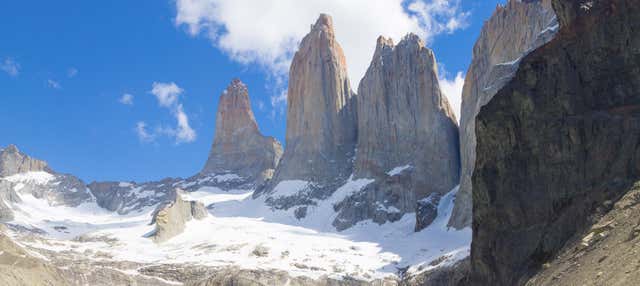
 Torres del Paine Tripfrom €73.78See details ↗
 Torres del Paine Hikefrom €87.61See details ↗
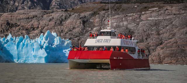 Grey Lake Boat Trip + Beach & Glacier Visitfrom €110.67See details ↗
Affiliate links: if you book through them we may earn a commission, at no extra cost to you. It never changes our stage, distance or luggage information. (Civitatis) How the project is funded
The route
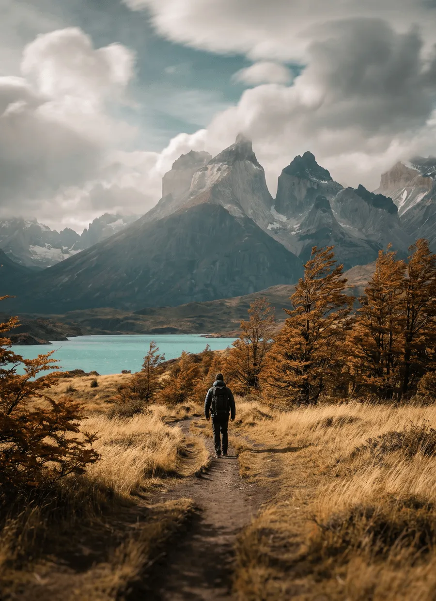
The W Trek is the classic route through Torres del Paine National Park in Chilean Patagonia, roughly 80 km traced in the shape of a W between the Lago Grey shore, the Valle del Francés and the base of the three granite towers. It lies in the Última Esperanza province, about 110 km north of Puerto Natales. Unlike a wilderness traverse, the W is a managed route inside a heavily visited national park: you sleep in fixed refugios and campsites, catamarans and shuttles form part of the itinerary, and every night must be reserved before you are allowed in.
About 3,000 m of cumulative ascent over 80 km, with the highest point around 900 m at the Torres viewpoint. Nothing is technical, but the ground is rough: moraine boulder fields, root-laced beech forest, scree and long stony traverses above the lakes. The final climb to the Base Las Torres mirador is an hour of loose rock and the hardest section of the walk. The wind is the defining feature. Gusts across the exposed lake shores and at the Británico lookout regularly knock walkers off balance, and there is little to do beyond leaning into it.
Five days is the standard, four if you are fast and drop a side valley. Walked east to west, sample stages run Laguna Amarga to Refugio Chileno at 9 km, Chileno to the Base Las Torres viewpoint and back at 14 km, Las Torres to Los Cuernos at 12 km, Los Cuernos to the Valle del Francés at 15 km, and the Valle del Francés to Paine Grande at 20 km. Two of those days include out-and-back spurs, so ascent matters more than distance. Park rules also set latest-entry times for some sections.
The season is November to March, the southern-hemisphere summer, with December to February the busiest and most settled, and November and March quieter and colder. Even at the height of summer, expect four seasons in a day: sun, sleet, rain and hard wind in a single afternoon is normal, and the Torres are often in cloud. Daylight is long, with light until after ten in December. Refugios and most campsites close outside the season, and although a limited winter programme exists, it is guided and a different proposition entirely.
You sleep in refugios and campsites operated by two concessionaires, Vértice and Las Torres, alongside the free CONAF sites where these still function. Every night must be booked in advance, and the park will not let you start without confirmed reservations covering the whole itinerary — rangers check them. Beds and platform tents for the December to February peak are released months ahead, often around the middle of the previous year, and the popular combinations go quickly. Options run from a bunk with half board to a bare tent site, and prices differ sharply between them.
The W suits walkers who want serious mountain scenery without technical ground, and who accept a rigid, pre-booked itinerary in exchange. It is demanding rather than difficult: consecutive days of six to nine hours on rough ground in strong wind. It suits less well anyone who wants flexibility, solitude or a cheap trip. This is one of the more expensive treks in South America per day, the trails are busy in January, and the reservation system means a missed catamaran or a closed section is hard to work around once you are inside the park.
Sample stages
A representative breakdown, not a prescription — most walkers adjust daily distances to their pace, rest days and the weather.
- Day 1 Laguna Amarga → Refugio Chileno 9 km
- Day 2 Refugio Chileno → Base Las Torres 14 km
- Day 3 Las Torres → Los Cuernos 12 km
- Day 4 Los Cuernos → Valle del Francés 15 km
- Day 5 Valle del Francés → Paine Grande 20 km
- Sample total 70 km
Practical notes
The things that change how a walk actually goes.
Gusts well over 100 km/h are recorded in summer, strongest on the exposed lake shores and at the Británico lookout. Poles and a hood that cinches down help more than extra layers. Tents must be genuinely storm-worthy, so most walkers rent platform tents.
You cannot walk the W without confirmed bookings for every night, and rangers check them at the entrance along with your park ticket. Refugios and campsites belong to separate concessionaires and to CONAF, so a full itinerary usually means booking through two or three systems.
Expect moraine boulder, root-broken forest floor and long stony traverses rather than smooth path. The last hour to the Base Las Torres mirador is loose rock and the steepest ground on the route. Boots with ankle support and poles are the normal choice.
After the fires that burned large areas of the park, open flame is banned outside designated cooking areas, and stoves may be used only in the marked shelters at the campsites. Smoking is prohibited on the trails, and penalties are severe.
The Lago Pehoé catamaran and the park shuttles are part of the route rather than extras, and they run to a seasonal timetable that wind can cancel. Some sections also have posted latest-entry times. Keep a spare day in Puerto Natales at the end.
Getting there & back
Fly to Punta Arenas, which has daily connections from Santiago, then take a bus north to Puerto Natales in about three hours. Puerto Natales is where almost every W trek is organised: gear rental, food, park tickets and the compulsory briefing. Buses leave the town for the park early each morning, reaching the Laguna Amarga entrance in roughly two hours, where a shuttle continues into the Las Torres sector. El Calafate in Argentina works as an alternative approach by long-distance bus.
Walking east to west, you finish at Paine Grande and leave by catamaran across Lago Pehoé to Pudeto, where afternoon buses run back to Puerto Natales in about two and a half hours. Timings are tight and the boat depends on the weather, so allow a night in Natales before flying. From there, buses return to Punta Arenas for flights north, or cross the border to El Calafate if you are continuing to Los Glaciares.
Luggage transfer on this route
There is no bag transfer on the W Trek. The refugios are supplied by boat, horse and staff, and park rules keep commercial transfer off the trails, so you carry your own gear for all five days. What almost everyone does instead is leave a suitcase at a hostel in Puerto Natales and cut pack weight by taking refugio half board and renting a sleeping bag.
Luggage transfer on long-distance trailsOfficial sources & maps
Go straight to the primary sources. We link out rather than re-publish, because these are the pages that stay current.
External links open in a new tab. We don’t control their content.
Frequently asked
How many days does the W Trek take?
Five days is standard for the roughly 80 km, four if you are fast and drop one side valley. Each day runs six to nine hours on rough ground, and two of them include out-and-back spurs to the Torres and up the Valle del Francés. Add a day either side in Puerto Natales for the bus, the briefing and the weather.
Do I need a permit or reservation?
Yes. You need a park entry ticket and confirmed accommodation for every night of your itinerary, which rangers check at the entrance. Refugios and campsites belong to different concessionaires and to CONAF, so most walkers book across two or three systems. Peak-season beds are released months in advance and sell out.
When is the best time to trek?
November to March. December to February have the longest days and the most settled spells, along with the biggest crowds and the highest prices. November and March are quieter and colder, with a greater chance of snow on the Torres climb. Hard wind and rapid weather changes are possible in any of those months.
East to west or west to east?
East to west, starting at Laguna Amarga and finishing at Paine Grande, is the more common direction. It puts the Torres viewpoint on day two while you are fresh and ends with the catamaran across Lago Pehoé. West to east saves the towers for the finish and often gives better light at Glaciar Grey.
Is the W Trek hard?
It is rated challenging rather than technical. Around 3,000 m of ascent over 80 km, rough boulder and forest ground, five consecutive long days and severe wind combine to make it tiring. The climb to Base Las Torres is the crux. Anyone comfortable with repeated seven-hour hill days should manage it.
What about the O Circuit?
The O adds the northern half of the massif to the W, roughly doubling the distance and taking eight to nine days. It runs one way, anticlockwise, has a stricter reservation system, includes the exposed John Gardner Pass, and asks for more self-sufficiency because the back side has fewer and simpler campsites.
Pick a trail.
No sign-up, no sales call. Just the data, the sources and the links you need to plan a long walk properly.